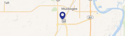
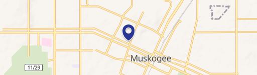
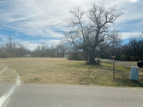
2041 Smith Fry Rd Muskogee, OK 74401
Property profile & analytics
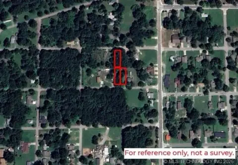
2041 Smith Fry Rd, Muskogee, OK 74401
- Commercial land
- 1,064 SF
- 126.50 lot acres
Property ID
US69-2416414
The Realmo ID is a unique identifier assigned to every property, incorporating country codes and precise geo-coordinates for 300x300-foot land blocks. It enables standardized data collection and seamless integration of disparate sources such as ownership, tax, title data and physical specifications. By aggregating current and historical records, the Realmo ID powers advanced analytics and delivers deep, verifiable insights for real estate professionals.
Location Intelligence
Current Use by Public Records
- Commercial land
Property Details for 2041 Smith Fry Rd
- Year built
- 1950
- Lot size
- 126.50 lot acres
- Property type
- Commercial land
- APN
- 0000-16-14N-18E-1-086-02
- APU
- 00001614N18E108602
Sales History
| Date | Price | Buyer | Seller | Deed Type | Mortgage |
|---|---|---|---|---|---|
| Jan 9, 2024 | — | Muskogee City County Port Authority | Yzy Capital Holdings LLC | Warranty Deed | — |
| Dec 29, 2023 | $1,897,500 | Muskogee City County Port Authority | Yzy Capital Holdings LLC | Warranty Deed | $1.9M · Armstrong Bank |
| Oct 7, 2021 | $1,897,500 | Yzy Capital Holdings LLC | Muskogee City County Port Authority | Warranty Deed | — |
| Oct 10, 2008 | $530,000 | Muskogee City Cnty Port Author | Key,roger | Warranty Deed | — |
| Apr 13, 2007 | $379,500 | Owner Name Unavailable | Owner Name Unavailable | Warranty Deed · related | — |
| Sep 19, 2006 | $253,000 | Owner Name Unavailable | Owner Name Unavailable | Grant Deed · related | — |
Value Estimations
based on Realmo’s proprietary methodology
-
AI approach
-
CAP approach
-
Comparable approach
-
Alternative Use
Get a detailed, property-specific estimation — fast and free
Location Insight
- Map
- Local Demand
- City
- Muskogee
- County
- Muskogee
- State
- Oklahoma
- Longitude
- -95.3977
- Latitude
- 35.6929
- CBSA code
- 34780
- CBSA name
- MUSKOGEE, OK MICROPOLITAN STATISTICAL AREA
Property Tax & Assessments
Tax date
Tax Amount
Assessed Land Value
Assessed Improvement Value
Total Assessed Value
Applied Tax Rate
Land Market Value
Improvement Market Value
Total Market Value
2023
$311
$2,978
$0.00
$2,978
-
$27,071
$0.00
$27,071