
Property profile & analytics
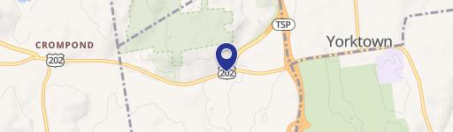
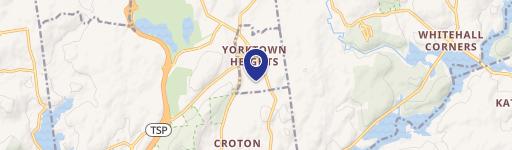
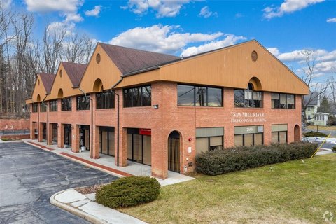
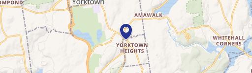
2035 Saw Ml Riv Rd Yorktown Heights, NY 10598-4107
- Gas stations
- 781 SF
- 0.86 lot acres
OFF-MARKET
Value Estimation
Location Intelligence
Property ID
US63-2713500
The Realmo ID is a unique identifier assigned to every property, incorporating country codes and precise geo-coordinates for 300x300-foot land blocks. It enables standardized data collection and seamless integration of disparate sources such as ownership, tax, title data and physical specifications. By aggregating current and historical records, the Realmo ID powers advanced analytics and delivers deep, verifiable insights for real estate professionals.
Current Use by Public Records
- Mobil / Gas Station
Property Details for 2035 Saw Ml Riv Rd
- Year built
- 1940
- Lot size
- 0.86 lot acres
- Property size
- 781 SF
- Zone code
- C-3
- Property type
- Gas stations
- APN
- 555400 37.14-2-51
- APU
- 5554003714251
Value Estimation
Powered by Realmo proprietary methodology
Last update: July 3, 2025
-
CAP approach
-
Comparable approach
-
Alternative Use
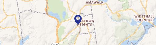
Location Insight
- Map
- Local Demand
- City
- Yorktown Heights
- County
- Westchester
- State
- New York
- Longitude
- -73.7823
- Latitude
- 41.2773
- CBSA code
- 35620
- CBSA name
- NEW YORK-NORTHERN NEW JERSEY-LONG ISLAND, NY-NJ-PA METROPOLITAN STATISTICAL AREA
Property Tax & Assessments
Tax date
Tax Amount
Assessed Land Value
Assessed Improvement Value
Total Assessed Value
Applied Tax Rate
Land Market Value
Improvement Market Value
Total Market Value
2020
$0.00
$14,700
$13,800
$28,500
-
$854,651
$802,326
$1,656,977
Comparable in this City


Similar Nearby for Sale


Similar Nearby for Lease


Property Visit Statistics
-
Visits by month15.6k
-
Visitors by month10.1k
-
Avg Time on site6 min