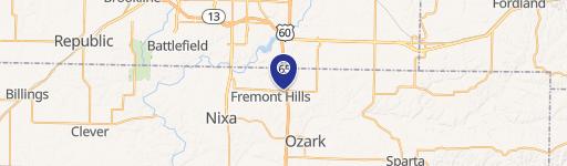
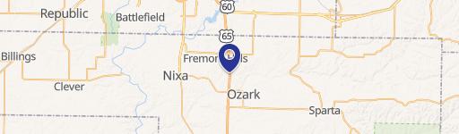
2010 S 20Th St Ozark, MO 65721
Property profile & analytics
2010 S 20Th St Ozark, MO 65721
- Investment properties
- 746 SF
- 5.06 lot acres
Property ID
US48-1452888
The Realmo ID is a unique identifier assigned to every property, incorporating country codes and precise geo-coordinates for 300x300-foot land blocks. It enables standardized data collection and seamless integration of disparate sources such as ownership, tax, title data and physical specifications. By aggregating current and historical records, the Realmo ID powers advanced analytics and delivers deep, verifiable insights for real estate professionals.
Location Intelligence
Current Use by Public Records
- Investment properties
Property Details for 2010 S 20Th St
- Year built
- 2013
- Lot size
- 5.06 lot acres
- Property size
- 746 SF
- Property type
- Investment properties
- Property subtype
- Retail residential properties
- APN
- 11-0.8-34-000-000-002.012
- APU
- 110834000000002012
Description
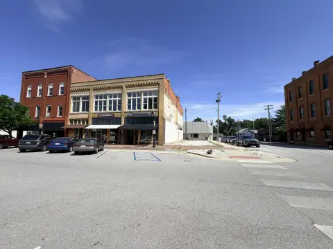
This exceptional 5.06-acre parcel, totaling 220,413 square feet, presents a remarkable opportunity for high-density multifamily development. Located in Ozark, Missouri, at 2010 S 20th St, zip code 65721, this property boasts a prime location within the Ozark Town Center Development. The land is zoned for High Density Multifamily use, offering significant potential for a substantial residential project. Its strategic positioning provides excellent highway visibility due to its proximity to Highway 65, ensuring high traffic exposure and accessibility. The asking price is $1,763,304, translating to a land value of $8 per square foot. The property's APN is 11-0.8-34-000-000-002.012. This is a rare chance to acquire a sizable, strategically located tract of land ideal for a lucrative multifamily development in a thriving Missouri community. Christian County's robust market and the property's advantageous zoning make this an exceptional investment prospect. The coordinates are 37.0002361 latitude and -93.2288462 longitude.
Value Estimations
based on Realmo’s proprietary methodology
-
AI approach
-
CAP approach
-
Comparable approach
-
Alternative Use
Get a detailed, property-specific estimation — fast and free
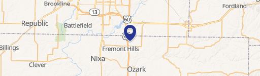
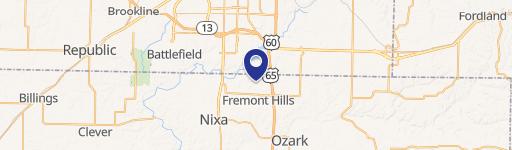
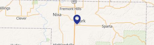
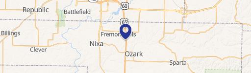
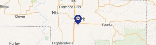
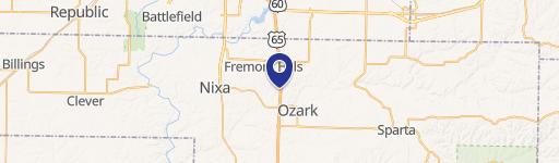
Location Insight
- Map
- Local Demand
- City
- Ozark
- County
- Christian
- State
- Missouri
- Longitude
- -93.2284
- Latitude
- 36.9999
- CBSA code
- 44180
- CBSA name
- SPRINGFIELD, MO METROPOLITAN STATISTICAL AREA
Property Tax & Assessments
Tax date
Tax Amount
Assessed Land Value
Assessed Improvement Value
Total Assessed Value
Applied Tax Rate
Land Market Value
Improvement Market Value
Total Market Value
0
$0.00
$0.00
$0.00
$127,200
-
$363,700
$33,800
$397,500