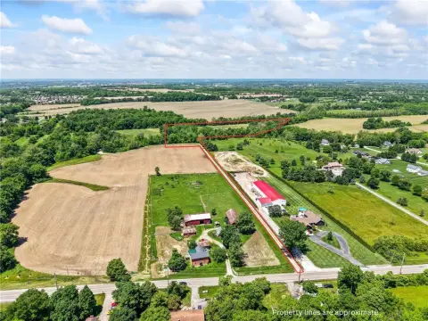
200 Shotwell Dr Franklin, OH 45005-4656
Property profile & analytics
200 Shotwell Dr, Franklin, OH 45005-4656
- Industrial properties
- 105,000 SF
- 18.19 lot acres
Property ID
US66-0149263
The Realmo ID is a unique identifier assigned to every property, incorporating country codes and precise geo-coordinates for 300x300-foot land blocks. It enables standardized data collection and seamless integration of disparate sources such as ownership, tax, title data and physical specifications. By aggregating current and historical records, the Realmo ID powers advanced analytics and delivers deep, verifiable insights for real estate professionals.
Location Intelligence
Current Use by Public Records
- The Foundry / Corporate Office
- Tapco / Industrial Manufacturer
- Boral Building Products / Big Box & Wholesale Store / Building Supply
Property Details for 200 Shotwell Dr
- Year built
- 1990
- Construction
- BRICK
- Lot size
- 18.19 lot acres
- Property type
- Industrial properties
- APN
- 08-30-329-003-0
- APU
- 8303290030
Sales History
| Date | Price | Buyer | Seller | Deed Type | Mortgage |
|---|---|---|---|---|---|
| Nov 17, 2016 | — | Tapco International Corp | — | Deed · related | $350k · Deutsche Bk Ag/ny Branch |
| Jul 19, 2011 | — | Mtp INC | — | Deed Of Trust · related | $400M · Wilmington Trust Fsb |
| Apr 2, 2010 | — | Mtp INC | — | Deed Of Trust · related | $70M · Bank Of America |
| Nov 23, 2004 | $3,600,000 | Mtp INC | Fultz & Thatcher Ptshp | Warranty Deed | — |
| — | — | Tapco International Corp | — | Loan Modification · related | $350k · Deutsche Bk Ag/ny Branch |
Value Estimations
based on Realmo’s proprietary methodology
-
CAP approach
- CAP Return
- Estimation
- 6%
- $7,190,000
- 6.5%
- $6,640,000
- 7%
- $6,165,000
Get a detailed, property-specific estimation — fast and free
Location Insight
- Map
- Local Demand
- City
- Franklin
- County
- Warren
- State
- Ohio
- Longitude
- -84.2874
- Latitude
- 39.5333
- CBSA code
- 17140
- CBSA name
- CINCINNATI-MIDDLETOWN, OH-KY-IN METROPOLITAN STATISTICAL AREA
Property Tax & Assessments
Tax date
Tax Amount
Assessed Land Value
Assessed Improvement Value
Total Assessed Value
Applied Tax Rate
Land Market Value
Improvement Market Value
Total Market Value
2023
$79,877
$200,589
$1,078,875
$1,279,464
-
$573,110
$3,082,500
$3,655,610