1997 Beltline Ave Nene Grand Rapids, MI 49525-4545
Property profile & analytics
1997 Beltline Ave Nene Grand Rapids, MI 49525-4545
- Commercial real estate
- 246,064 SF
- 40.84 lot acres
Property ID
US43-2044141
The Realmo ID is a unique identifier assigned to every property, incorporating country codes and precise geo-coordinates for 300x300-foot land blocks. It enables standardized data collection and seamless integration of disparate sources such as ownership, tax, title data and physical specifications. By aggregating current and historical records, the Realmo ID powers advanced analytics and delivers deep, verifiable insights for real estate professionals.
Location Intelligence
Current Use by Public Records
- TNT Fireworks / Discount Store / Party Supply Store
- US Post Office / Post Office
- Meijer Pharmacy / Pharmacy
- Meijer / Specialty Food Shop / Supermarket
- Secretary of State Self-service Station / Department Of Motor Vehicles / Kiosk
Property Details for 1997 Beltline Ave Nene
- Year built
- 1999
- Lot size
- 40.84 lot acres
- Property size
- 246,064 SF
- Zone code
- SD-PRD
- Property type
- Commercial real estate
- APN
- 41-14-15-226-039
- APU
- 411415226039
Value Estimations
based on Realmo’s proprietary methodology
-
Comparable approach
- Method
- Estimation
- Statistic Estimate
- $15,758,000
- AI Estimate
- $15,758,000
Market price range: $10.8M - $33.9MMarket price range: $10.8M - $33.9M -
Alternative Use
- Use
- Estimation
- COMMERCIAL (GENERAL)
- $21,560,000 Current use
- RETAIL STORES
- $20,000,000 Change: -7% Conversion: Easy
- OFFICE BUILDING
- $18,865,000 Change: -13% Conversion: Easy
Get a detailed, property-specific estimation — fast and free
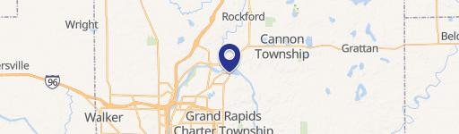
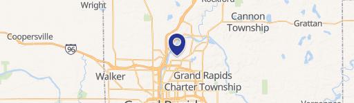
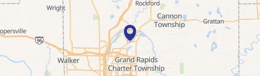
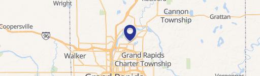
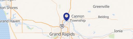
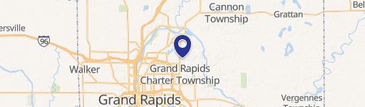
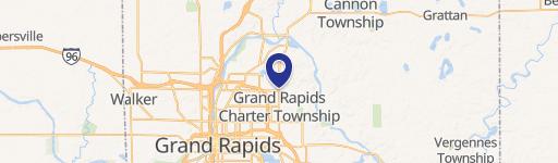
Location Insight
- Map
- Local Demand
- City
- Grand Rapids
- County
- Kent
- State
- Michigan
- Longitude
- -85.5937
- Latitude
- 42.997
- CBSA code
- 24340
- CBSA name
- GRAND RAPIDS-WYOMING, MI METROPOLITAN STATISTICAL AREA
Property Tax & Assessments
Tax date
Tax Amount
Assessed Land Value
Assessed Improvement Value
Total Assessed Value
Applied Tax Rate
Land Market Value
Improvement Market Value
Total Market Value
2021
$406,899
$0.00
$0.00
$9,462,900
-
$0.00
$0.00
$18,925,800
Comparable in this City


Similar Nearby for Sale


Similar Nearby for Lease


Property Visit Statistics
-
Visits by month311.7k
-
Visitors by month133.1k
-
Avg Time on site35 min


