1991 Rawhide Dr Round Rock, TX 78681-6920
Property profile & analytics
1991 Rawhide Dr Round Rock, TX 78681-6920
- Commercial real estate
- 5,753 SF
- 0.52 lot acres
Property ID
US82-4108174
The Realmo ID is a unique identifier assigned to every property, incorporating country codes and precise geo-coordinates for 300x300-foot land blocks. It enables standardized data collection and seamless integration of disparate sources such as ownership, tax, title data and physical specifications. By aggregating current and historical records, the Realmo ID powers advanced analytics and delivers deep, verifiable insights for real estate professionals.
Location Intelligence
Current Use by Public Records
- Fire station / Fire Station
- AOM / Industrial Manufacturer / Production Facility
Property Details for 1991 Rawhide Dr
- Year built
- 2009
- Lot size
- 0.52 lot acres
- Property size
- 5,753 SF
- Property type
- Commercial real estate
- APN
- R-16-4929-EX00-0001
- APU
- R164929EX000001
Value Estimations
based on Realmo’s proprietary methodology
-
AI approach
- Method
- Estimation
- ML approach
- $1,570,000
-
CAP approach
- CAP Return
- Estimation
- 6%
- $1,295,000
- 6.5%
- $1,195,000
- 7%
- $1,110,000
-
Alternative Use
- Use
- Estimation
- COMMERCIAL (GENERAL)
- $855,000 Current use
- OFFICE BUILDING
- $1,540,000 Change: +80% Conversion: Easy
Get a detailed, property-specific estimation — fast and free
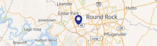
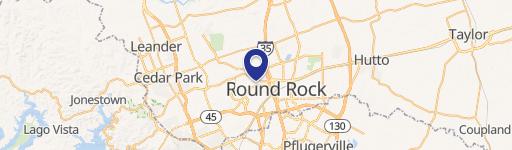
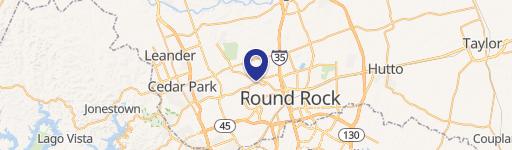
Location Insight
- Map
- Local Demand
- City
- Round Rock
- County
- Williamson
- State
- Texas
- Longitude
- -97.681
- Latitude
- 30.4912
- CBSA code
- 12420
- CBSA name
- AUSTIN-ROUND ROCK, TX METROPOLITAN STATISTICAL AREA
Property Tax & Assessments
Tax date
Tax Amount
Assessed Land Value
Assessed Improvement Value
Total Assessed Value
Applied Tax Rate
Land Market Value
Improvement Market Value
Total Market Value
2023
$22,002
$414,868
$839,501
$1,254,369
-
$414,868
$839,501
$1,254,369