1970 Wayside Rd Raeford, NC 28376-9039
Property profile & analytics
1970 Wayside Rd, Raeford, NC 28376-9039
- Grocery and convenience stores
- 3,500 SF
- 2.99 lot acres
Property ID
US53-4109497
The Realmo ID is a unique identifier assigned to every property, incorporating country codes and precise geo-coordinates for 300x300-foot land blocks. It enables standardized data collection and seamless integration of disparate sources such as ownership, tax, title data and physical specifications. By aggregating current and historical records, the Realmo ID powers advanced analytics and delivers deep, verifiable insights for real estate professionals.
Location Intelligence
Current Use by Public Records
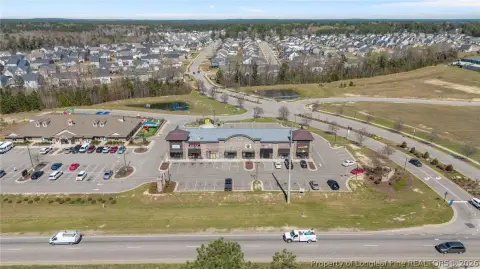
- Shell / Gas Station
- Shell gas station / Gas Station
Property Details for 1970 Wayside Rd
- Year built
- 2015
- Construction
- CONCRETE BLOCKS
- Lot size
- 2.99 lot acres
- Property type
- Grocery and convenience stores
- APN
- 494670401032
- APU
- 494670401032
Sales History
| Date | Price | Buyer | Seller | Deed Type | Mortgage |
|---|---|---|---|---|---|
| Mar 28, 2014 | — | Fuel Zone LLC | Mary Mac Williamson Johnson | Warranty Deed | — |
| Mar 28, 2014 | $50,000 | Fuel Zone LLC | Helen M Craver | Warranty Deed | — |
| Mar 28, 2014 | $500,000 | Fuel Zone LLC | Laura M Sutton | Warranty Deed | — |
Value Estimations
based on Realmo’s proprietary methodology
-
AI approach
- Method
- Estimation
- Statistic approach
- $4,000,000
- ML approach
- $4,000,000
Get a detailed, property-specific estimation — fast and free
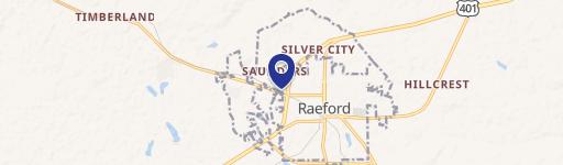
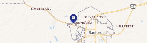
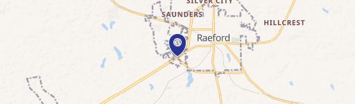
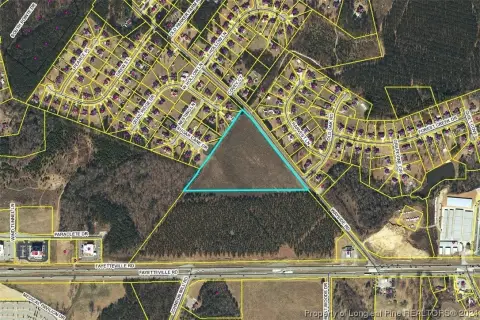
Location Insight
- Map
- Local Demand
- City
- Raeford
- County
- Hoke
- State
- North Carolina
- Longitude
- -79.1115
- Latitude
- 35.0489
- CBSA code
- 22180
- CBSA name
- FAYETTEVILLE, NC METROPOLITAN STATISTICAL AREA
Property Tax & Assessments
Tax date
Tax Amount
Assessed Land Value
Assessed Improvement Value
Total Assessed Value
Applied Tax Rate
Land Market Value
Improvement Market Value
Total Market Value
2024
$6,425
$191,390
$601,770
$793,160
-
$191,390
$601,770
$793,160