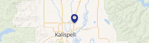
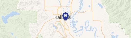
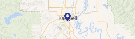
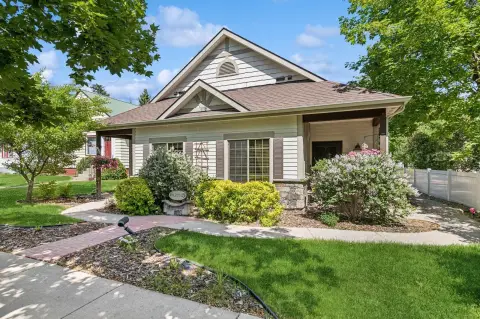
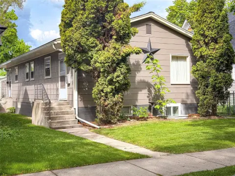
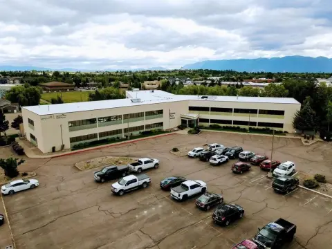
1959 Mt Hwy 35 Kalispell, MT 59901
Property profile & analytics
1959 Mt Hwy 35, Kalispell, MT 59901
- Mobile home & RV parks
- 7.34 lot acres
Property ID
US52-0134492
The Realmo ID is a unique identifier assigned to every property, incorporating country codes and precise geo-coordinates for 300x300-foot land blocks. It enables standardized data collection and seamless integration of disparate sources such as ownership, tax, title data and physical specifications. By aggregating current and historical records, the Realmo ID powers advanced analytics and delivers deep, verifiable insights for real estate professionals.
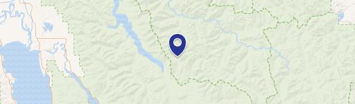
Location Intelligence
Current Use by Public Records
- Mobile home & RV parks
Property Details for 1959 Mt Hwy 35
- Year built
- 1966
- Lot size
- 7.34 lot acres
- Zone code
- 1
- Property type
- Mobile home & RV parks
- APN
- 07-3966-03-1-01-20-0000
- APU
- 7396603101200000
Sales History
| Date | Price | Buyer | Seller | Deed Type | Mortgage |
|---|---|---|---|---|---|
| Jul 22, 2013 | — | Robert Malberg | Darrell S Clothier | Quit Claim Deed · related | — |
| Jun 13, 2012 | — | Darrell S Clothier | Delores Clothier | Affidavit Of Death Of Joint Tenant · related | — |
| Mar 14, 2007 | — | Delores Clothier | Delores Clothier | Intrafamily Transfer · related | — |
Value Estimations
based on Realmo’s proprietary methodology
-
AI approach
-
CAP approach
-
Comparable approach
-
Alternative Use
Get a detailed, property-specific estimation — fast and free
Location Insight
- Map
- Local Demand
- City
- Kalispell
- County
- Flathead
- State
- Montana
- Longitude
- -114.247
- Latitude
- 48.225
- CBSA code
- 28060
- CBSA name
- KALISPELL, MT MICROPOLITAN STATISTICAL AREA
Property Tax & Assessments
Tax date
Tax Amount
Assessed Land Value
Assessed Improvement Value
Total Assessed Value
Applied Tax Rate
Land Market Value
Improvement Market Value
Total Market Value
2024
$6,878
$0.00
$0.00
$769,800
-
$579,478
$190,322
$769,800