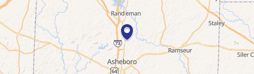
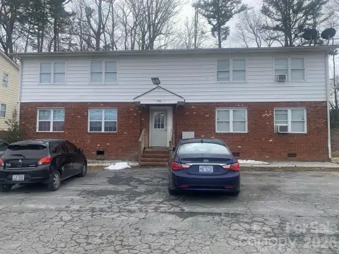
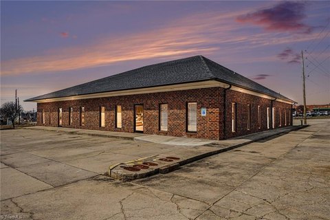
1942 Cedar Rd Asheboro, NC 27203-3471
Property profile & analytics
1942 Cedar Rd, Asheboro, NC 27203-3471
- Mobile home & RV parks
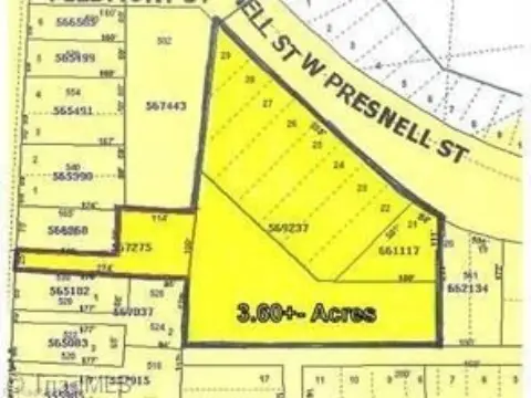
- 1.07 lot acres
Property ID
US53-0890944
The Realmo ID is a unique identifier assigned to every property, incorporating country codes and precise geo-coordinates for 300x300-foot land blocks. It enables standardized data collection and seamless integration of disparate sources such as ownership, tax, title data and physical specifications. By aggregating current and historical records, the Realmo ID powers advanced analytics and delivers deep, verifiable insights for real estate professionals.
Location Intelligence
Current Use by Public Records
- Oak Meadows Mobile Home Park / Campground & RV Park
- Oak Meadows Community Association / Charitable Organization / Social Service Agency
Property Details for 1942 Cedar Rd
- Lot size
- 1.07 lot acres
- Zone code
- B1
- Property type
- Mobile home & RV parks
- APN
- 7762490249
- APU
- 7762490249
Sales History
| Date | Price | Buyer | Seller | Deed Type | Mortgage |
|---|---|---|---|---|---|
| Nov 4, 2020 | $2,075,000 | Oak Meadows Community Assn | Oak Meadows Mhp LLC | Grant Deed | $2.4M · Resident Ownership Capital LLC |
| May 22, 2018 | — | Oak Meadows Mhp LLC | Kdhw Investments LLC | Warranty Deed | — |
Value Estimations
based on Realmo’s proprietary methodology
-
AI approach
-
CAP approach
-
Comparable approach
-
Alternative Use
Get a detailed, property-specific estimation — fast and free
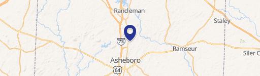
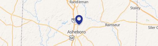
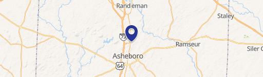
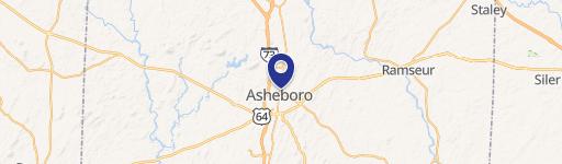
Location Insight
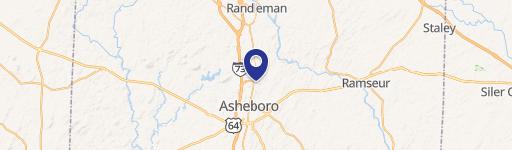
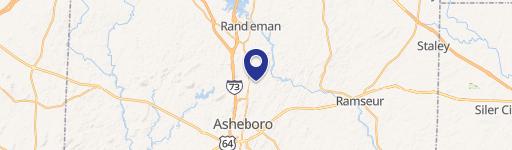
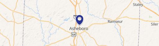
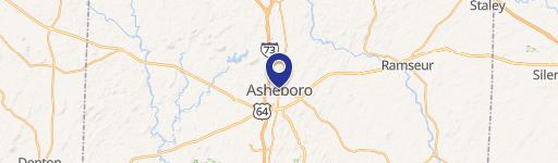
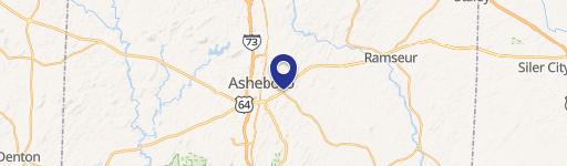
- Map
- Local Demand
- City
- Asheboro
- County
- Randolph
- State
- North Carolina
- Longitude
- -79.7951
- Latitude
- 35.7514
- CBSA code
- 24660
- CBSA name
- GREENSBORO-HIGH POINT, NC METROPOLITAN STATISTICAL AREA
Property Tax & Assessments
Tax date
Tax Amount
Assessed Land Value
Assessed Improvement Value
Total Assessed Value
Applied Tax Rate
Land Market Value
Improvement Market Value
Total Market Value
2023
$1,349
$45,420
$56,000
$101,420
-
$45,420
$56,000
$101,420