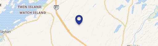
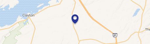
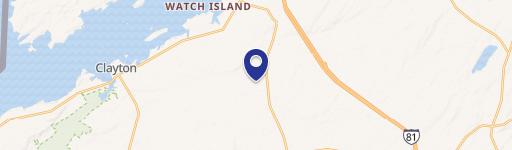
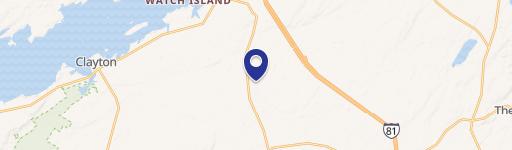
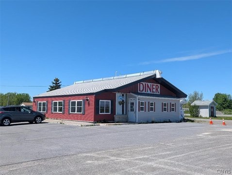
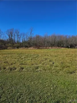
19309 Grv Cemetery Rd La Fargeville, NY 13656
Property profile & analytics
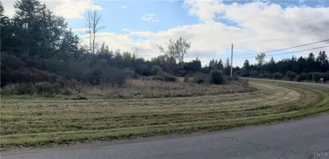
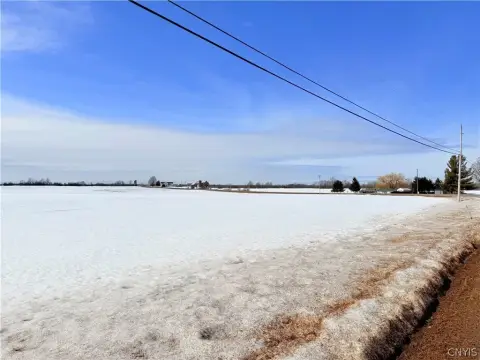
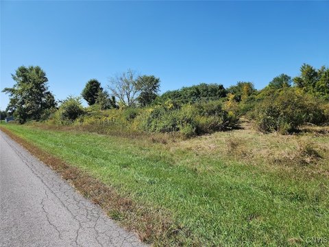
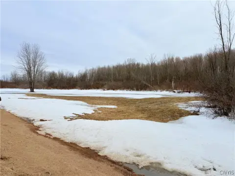
19309 Grv Cemetery Rd, La Fargeville, NY 13656
- Mining land & claims
- 1,248 SF
- 14.30 lot acres
Property ID
US63-4398368
The Realmo ID is a unique identifier assigned to every property, incorporating country codes and precise geo-coordinates for 300x300-foot land blocks. It enables standardized data collection and seamless integration of disparate sources such as ownership, tax, title data and physical specifications. By aggregating current and historical records, the Realmo ID powers advanced analytics and delivers deep, verifiable insights for real estate professionals.
Location Intelligence
Current Use by Public Records
- Mining land & claims
Property Details for 19309 Grv Cemetery Rd
- Year built
- 2013
- Lot size
- 14.30 lot acres
- Property type
- Mining land & claims
- APN
- 224600 32.00-1-3.412
- APU
- 224600320013412
Sales History
| Date | Price | Buyer | Seller | Deed Type | Mortgage |
|---|---|---|---|---|---|
| Jan 8, 2004 | $49,720 | Barbara J Thompson | Thompson,donelle | Warranty Deed · related | — |
Value Estimations
based on Realmo’s proprietary methodology
-
AI approach
-
CAP approach
-
Comparable approach
-
Alternative Use
Get a detailed, property-specific estimation — fast and free
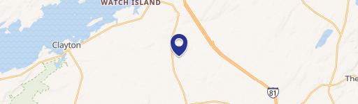
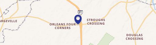
Location Insight
- Map
- Local Demand
- City
- La Fargeville
- County
- Jefferson
- State
- New York
- Longitude
- -75.988
- Latitude
- 44.1838
- CBSA code
- 48060
- CBSA name
- WATERTOWN-FORT DRUM, NY MICROPOLITAN STATISTICAL AREA
Property Tax & Assessments
Tax date
Tax Amount
Assessed Land Value
Assessed Improvement Value
Total Assessed Value
Applied Tax Rate
Land Market Value
Improvement Market Value
Total Market Value
0
$0.00
$250,000
$96,600
$346,600
-
$297,619
$115,000
$412,619