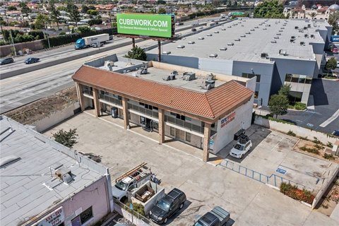
1900 Fullerton Rd Rowland Heights, CA 91748-3308
Property profile & analytics
1900 Fullerton Rd, Rowland Heights, CA 91748-3308
- Apartment buildings
- 114,932 SF
- 4.16 lot acres
Property ID
US09-7972825
The Realmo ID is a unique identifier assigned to every property, incorporating country codes and precise geo-coordinates for 300x300-foot land blocks. It enables standardized data collection and seamless integration of disparate sources such as ownership, tax, title data and physical specifications. By aggregating current and historical records, the Realmo ID powers advanced analytics and delivers deep, verifiable insights for real estate professionals.
Location Intelligence
Current Use by Public Records
- Apartment buildings
Property Details for 1900 Fullerton Rd
- Year built
- 1972
- Construction
- WOOD
- Lot size
- 4.16 lot acres
- Zone code
- LCR330U*
- Property type
- Apartment buildings
- APN
- 8270-023-024
- APU
- 8270023024
Sales History
| Date | Price | Buyer | Seller | Deed Type | Mortgage |
|---|---|---|---|---|---|
| Dec 29, 1999 | — | Preservation Rht | Rowland Heights II, | Grant Deed · related | — |
| Apr 7, 1971 | — | Heights No 1 Rowland | — | Grant Deed · related | — |
| — | — | Rowland Heights 1 LP | — | Deed Of Trust · related | $1.4M · American Savings Bank |
Value Estimations
based on Realmo’s proprietary methodology
-
Comparable approach
- Method
- Estimation
- Statistic Estimate
- $15,262,000
Market price range: $15.3M - $39.8M
Get a detailed, property-specific estimation — fast and free
Location Insight
- Map
- Local Demand
- City
- Rowland Heights
- County
- Los Angeles
- State
- California
- Longitude
- -117.906
- Latitude
- 33.9852
- CBSA code
- 31080
- CBSA name
- LOS ANGELES-LONG BEACH-ANAHEIM, CA METROPOLITAN STATISTICAL AREA
Property Tax & Assessments
Tax date
Tax Amount
Assessed Land Value
Assessed Improvement Value
Total Assessed Value
Applied Tax Rate
Land Market Value
Improvement Market Value
Total Market Value
2024
$99,442
$374,956
$4,009,599
$4,384,555
-
$0.00
$0.00
$0.00