1830 Raymond Rd Dewar, IA 50623-7704
Property profile & analytics
1830 Raymond Rd, Dewar, IA 50623-7704
- Bars & Pubs
- 2,015 SF
- 0.18 lot acres
Property ID
US25-0271550
The Realmo ID is a unique identifier assigned to every property, incorporating country codes and precise geo-coordinates for 300x300-foot land blocks. It enables standardized data collection and seamless integration of disparate sources such as ownership, tax, title data and physical specifications. By aggregating current and historical records, the Realmo ID powers advanced analytics and delivers deep, verifiable insights for real estate professionals.
Location Intelligence
Current Use by Public Records
- K & M Korner / Bar & Pub
- Kathy's Korner / Bar & Pub
Property Details for 1830 Raymond Rd
- Year built
- 1905
- Construction
- FRAME
- Lot size
- 0.18 lot acres
- Property type
- Bars & Pubs
- Property subtype
- Pubs
- APN
- 8912-13-102-015
- APU
- 891213102015
Sales History
| Date | Price | Buyer | Seller | Deed Type | Mortgage |
|---|---|---|---|---|---|
| Oct 23, 2024 | — | Simon Investments LLC | — | Deed · related | $91k · Bank |
| Aug 4, 2020 | — | Simon Investments LLC | — | Deed · related | $72k · Aable Pest Control Co |
| Jan 16, 2019 | — | Simon Investments LLC | — | Deed · related | $81k · Iowa State Bank |
Value Estimations
based on Realmo’s proprietary methodology
-
AI approach
-
CAP approach
-
Comparable approach
-
Alternative Use
Get a detailed, property-specific estimation — fast and free
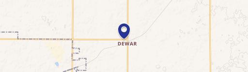
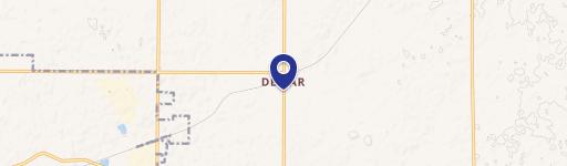
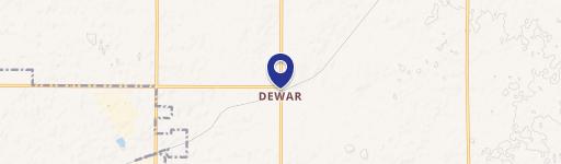
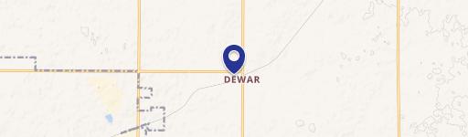
Location Insight
- Map
- Local Demand
- City
- Dewar
- County
- Black Hawk
- State
- Iowa
- Longitude
- -92.219
- Latitude
- 42.5252
- CBSA code
- 47940
- CBSA name
- WATERLOO-CEDAR FALLS, IA METROPOLITAN STATISTICAL AREA
Property Tax & Assessments
Tax date
Tax Amount
Assessed Land Value
Assessed Improvement Value
Total Assessed Value
Applied Tax Rate
Land Market Value
Improvement Market Value
Total Market Value
2023
$1,007
$9,200
$71,970
$81,170
-
$9,200
$71,970
$81,170