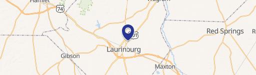
17560 Mcfarland Rd Laurinburg, NC 28352-9283
6.3.9. I Industrial District. The I district is established as a district in which to allow primarily light manufacturing, assembly, research, warehousing, and intensive commercial use s. The regulations of this district are intended to (1) encourage light manufacturing and intensive commercial uses as well as accessory land uses incidental to and in support…
Cap rate
Implied · in-place · derived from last sale + estimated NOIValue
AI, CAP & Alternative Use estimations · Realmo proprietary blendProperty tax & assessments
Comparables
6 recent transactions · within 1.5 miComparable in this City

Similar Nearby for Sale


Similar Nearby for Lease


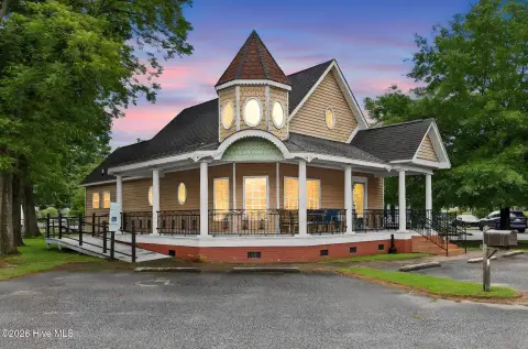
Property description
Physical attributes from public recordsZoning & alternative use
I · Laurinburg, NC6.3.9. I Industrial District. The I district is established as a district in which to allow primarily light manufacturing, assembly, research, warehousing, and intensive commercial use s. The regulations of this district are intended to (1) encourage light manufacturing and intensive commercial uses as well as accessory land uses incidental to and in support of manufactu ring uses; (2) exclude heavy industry, hazardous waste management facilities, major retail , and residences as acceptable land uses; and (3) preserve locations that are best suited for industrial development. Land uses in the I district are limited to those determined to be compatible with the character of the community.
Costs & Benchmarks
Operating expenses, capex projections, utility benchmarks, and submarket comparables — all in one view.
Risks
Flood, climate, environmental, title, and tenant-concentration risk — surfaced with mitigations and source citations.


