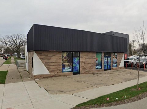
16831 12th Mile Rd Roseville, MI 48066-2480
tions. § 370-23 Required conditions. Article VII RM-2 Multiple-Family Residential District (High Rise) § 370-24 Intent. § 370-25 Principal permitted uses. § 370-26 Required conditions. Article VIII (Reserved) Article IX OS Office Service District § 370-27 Intent. § 370-28 Principal permitted uses. § 370-29 Uses permitted subject to special conditions. § 370-…
Cap rate
Implied · in-place · derived from last sale + estimated NOIValue
AI, CAP & Alternative Use estimations · Realmo proprietary blendProperty tax & assessments
Tax year 2022Comparables
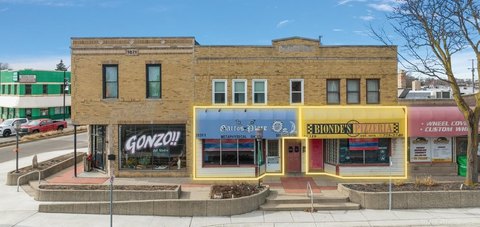
6 recent transactions · within 1.5 miComparable in this City


Similar Nearby for Sale


Similar Nearby for Lease


Property description
Physical attributes from public recordsZoning & alternative use
O-S · Roseville, MItions. § 370-23 Required conditions. Article VII RM-2 Multiple-Family Residential District (High Rise) § 370-24 Intent. § 370-25 Principal permitted uses. § 370-26 Required conditions. Article VIII (Reserved) Article IX OS Office Service District § 370-27 Intent. § 370-28 Principal permitted uses. § 370-29 Uses permitted subject to special conditions. § 370-30 Required conditions. Article X B-1 Local Business District § 370-31 Intent. § 3
Costs & Benchmarks
Operating expenses, capex projections, utility benchmarks, and submarket comparables — all in one view.
Risks
Flood, climate, environmental, title, and tenant-concentration risk — surfaced with mitigations and source citations.


