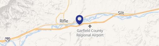
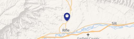
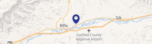
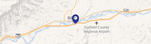
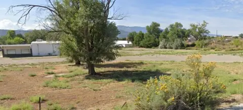
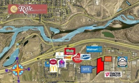
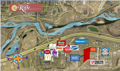
1613 Airport Rd Rifle, CO 81650-8449
Property profile & analytics
1613 Airport Rd, Rifle, CO 81650-8449
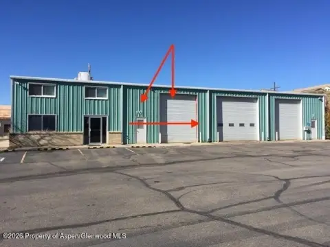
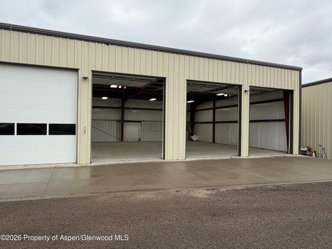
- Commercial land
- 2.00 lot acres
Property ID
US13-0055595
The Realmo ID is a unique identifier assigned to every property, incorporating country codes and precise geo-coordinates for 300x300-foot land blocks. It enables standardized data collection and seamless integration of disparate sources such as ownership, tax, title data and physical specifications. By aggregating current and historical records, the Realmo ID powers advanced analytics and delivers deep, verifiable insights for real estate professionals.
Location Intelligence
Current Use by Public Records
- Commercial land
Property Details for 1613 Airport Rd
- Lot size
- 2.00 lot acres
- Property type
- Commercial land
- APN
- 217715404002
- APU
- 217715404002
Sales History
| Date | Price | Buyer | Seller | Deed Type | Mortgage |
|---|---|---|---|---|---|
| Oct 16, 2024 | — | Josh Stallings | — | Deed · related | $2.5M · Yampa Valley Bank |
| Dec 20, 2023 | $750,000 | Josh Stallings | Wdm Corporation | Warranty Deed | — |
| Oct 4, 2007 | $1,295,000 | Wdm Corp | Johnson,milt & Charlotte | Warranty Deed | — |
Value Estimations
based on Realmo’s proprietary methodology
-
AI approach
- Method
- Estimation
- Statistic approach
- $945,000
- ML approach
- $845,000
Get a detailed, property-specific estimation — fast and free
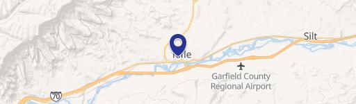
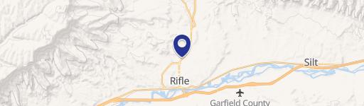
Location Insight
- Map
- Local Demand
- City
- Rifle
- County
- Garfield
- State
- Colorado
- Longitude
- -107.762
- Latitude
- 39.5214
- CBSA code
- 24060
- CBSA name
- GLENWOOD SPRINGS, CO MICROPOLITAN STATISTICAL AREA
Property Tax & Assessments
Tax date
Tax Amount
Assessed Land Value
Assessed Improvement Value
Total Assessed Value
Applied Tax Rate
Land Market Value
Improvement Market Value
Total Market Value
2023
$12,828
$194,450
$0.00
$194,450
-
$696,960
$0.00
$696,960