1585 Harding E Hwy Marion, OH 43302-4568
Property profile & analytics
1585 Harding E Hwy, Marion, OH 43302-4568
- Amusement parks
- 1.12 lot acres
Property ID
US66-2860953
The Realmo ID is a unique identifier assigned to every property, incorporating country codes and precise geo-coordinates for 300x300-foot land blocks. It enables standardized data collection and seamless integration of disparate sources such as ownership, tax, title data and physical specifications. By aggregating current and historical records, the Realmo ID powers advanced analytics and delivers deep, verifiable insights for real estate professionals.
Location Intelligence
Current Use by Public Records
- Marion County Democratic Party / Advocacy Group / Volunteer Organization
- Laborers' Union Local 574 / Advocacy Group
- AFL-CIO Mid-Ohio / Advocacy Group
Property Details for 1585 Harding E Hwy
- Year built
- 1959
- Lot size
- 1.12 lot acres
- Property type
- Amusement parks
- APN
- 20-011151.0800
- APU
- 200111510800
Sales History
| Date | Price | Buyer | Seller | Deed Type | Mortgage |
|---|---|---|---|---|---|
| Mar 9, 2021 | $340,000 | Speeday LLC | Local 574 Laborers International | Limited Warranty Deed | — |
| Oct 11, 2011 | $45,000 | Speedway LLC | Local 574 Laborers Intl | Warranty Deed | — |
| — | — | Jerri L Seckel | — | Deed Of Trust · related | $80k · Fifth Third Bank Central Ohio |
Value Estimations
based on Realmo’s proprietary methodology
-
AI approach
-
CAP approach
-
Comparable approach
-
Alternative Use
Get a detailed, property-specific estimation — fast and free
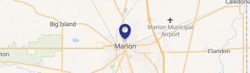
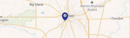
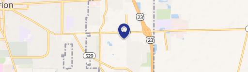
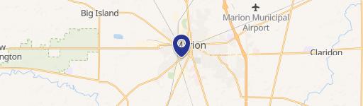
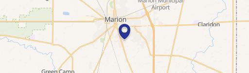
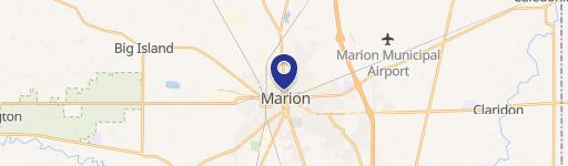
Location Insight
- Map
- Local Demand
- City
- Marion
- County
- Marion
- State
- Ohio
- Longitude
- -83.0874
- Latitude
- 40.5922
- CBSA code
- 32020
- CBSA name
- MARION, OH MICROPOLITAN STATISTICAL AREA
Property Tax & Assessments
Tax date
Tax Amount
Assessed Land Value
Assessed Improvement Value
Total Assessed Value
Applied Tax Rate
Land Market Value
Improvement Market Value
Total Market Value
2023
$6,070
$22,260
$86,170
$108,430
-
$63,600
$246,200
$309,800