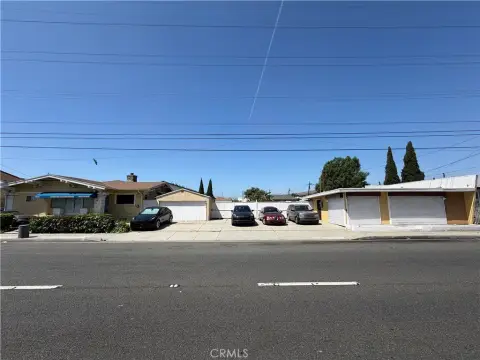
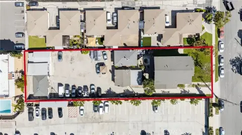
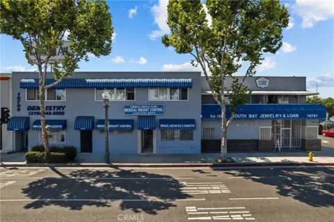
15821 Hawthorne Blvd Lawndale, CA 90260-2643
Property profile & analytics
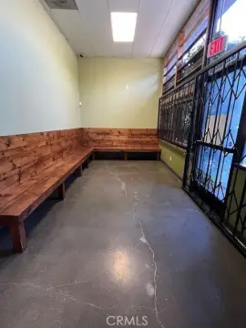
15821 Hawthorne Blvd, Lawndale, CA 90260-2643
- Commercial land
- 828 SF
- 0.10 lot acres
Property ID
US09-8819403
The Realmo ID is a unique identifier assigned to every property, incorporating country codes and precise geo-coordinates for 300x300-foot land blocks. It enables standardized data collection and seamless integration of disparate sources such as ownership, tax, title data and physical specifications. By aggregating current and historical records, the Realmo ID powers advanced analytics and delivers deep, verifiable insights for real estate professionals.
Location Intelligence
Current Use by Public Records
- Commercial land
Property Details for 15821 Hawthorne Blvd
- Year built
- 1947
- Lot size
- 0.10 lot acres
- Zone code
- LNC3*
- Property type
- Commercial land
- APN
- 4074-001-031
- APU
- 4074001031
Sales History
| Date | Price | Buyer | Seller | Deed Type | Mortgage |
|---|---|---|---|---|---|
| May 10, 2019 | $3,421,000 | 3600 Torrance Management LLC | City Of Lawndale | Grant Deed | — |
| Mar 27, 2019 | — | City Of Lawndale | Successor Agcy To The Lawndale | Quit Claim Deed · related | — |
| Aug 17, 2015 | — | Lawndale Redevelopment Agency | City Of Lawndale | Quit Claim Deed · related | — |
Value Estimations
based on Realmo’s proprietary methodology
-
AI approach
-
CAP approach
-
Comparable approach
-
Alternative Use
Get a detailed, property-specific estimation — fast and free
Location Insight
- Map
- Local Demand
- City
- Lawndale
- County
- Los Angeles
- State
- California
- Longitude
- -118.353
- Latitude
- 33.8867
- CBSA code
- 31080
- CBSA name
- LOS ANGELES-LONG BEACH-ANAHEIM, CA METROPOLITAN STATISTICAL AREA
Property Tax & Assessments
Tax date
Tax Amount
Assessed Land Value
Assessed Improvement Value
Total Assessed Value
Applied Tax Rate
Land Market Value
Improvement Market Value
Total Market Value
2024
$4,142
$277,784
$0.00
$277,784
-
$0.00
$0.00
$0.00