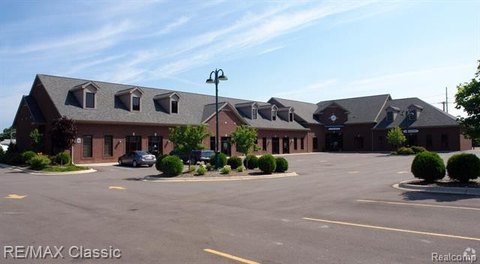
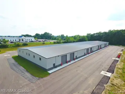
1500 Milford Rd Highland, MI 48357-3804
Property profile & analytics
1500 Milford Rd, Highland, MI 48357-3804
- Specialty properties
- 2,419 SF
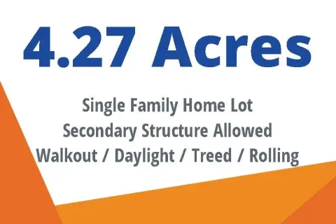
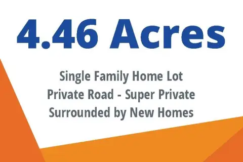
- 0.55 lot acres
Property ID
US43-0188843
The Realmo ID is a unique identifier assigned to every property, incorporating country codes and precise geo-coordinates for 300x300-foot land blocks. It enables standardized data collection and seamless integration of disparate sources such as ownership, tax, title data and physical specifications. By aggregating current and historical records, the Realmo ID powers advanced analytics and delivers deep, verifiable insights for real estate professionals.
Location Intelligence
Current Use by Public Records
- Specialty properties
Property Details for 1500 Milford Rd
- Year built
- 1988
- Lot size
- 0.55 lot acres
- Zone code
- II
- Property type
- Specialty properties
- APN
- H -11-22-126-001
- APU
- H1122126001
Sales History
| Date | Price | Buyer | Seller | Deed Type | Mortgage |
|---|---|---|---|---|---|
| Feb 21, 2024 | — | Jeffrey Rothstein | — | Deed · related | $975k · Peoples State Bank |
| Mar 10, 2009 | $219,000 | Loyal Order Of Moose Hlnd Lodge | Leo Ralph | Grant Deed | — |
| Feb 25, 2003 | — | Leo Est Ralph | Forcade Investments INC | Quit Claim Deed · related | — |
| Feb 25, 2003 | $72,130 | Leo Est Ralph | Forcade Investments INC | Grant Deed | — |
Value Estimations
based on Realmo’s proprietary methodology
-
AI approach
-
CAP approach
-
Comparable approach
-
Alternative Use
Get a detailed, property-specific estimation — fast and free
Location Insight
- Map
- Local Demand
- City
- Highland
- County
- Oakland
- State
- Michigan
- Longitude
- -83.6176
- Latitude
- 42.6524
- CBSA code
- 19820
- CBSA name
- DETROIT-WARREN-LIVONIA, MI METROPOLITAN STATISTICAL AREA
Property Tax & Assessments
Tax date
Tax Amount
Assessed Land Value
Assessed Improvement Value
Total Assessed Value
Applied Tax Rate
Land Market Value
Improvement Market Value
Total Market Value
2023
$4,904
$0.00
$0.00
$136,210
-
$0.00
$0.00
$272,420