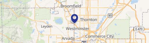
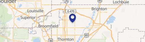
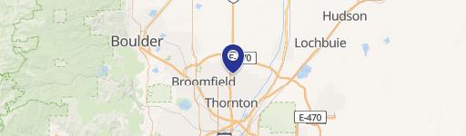
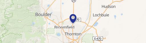
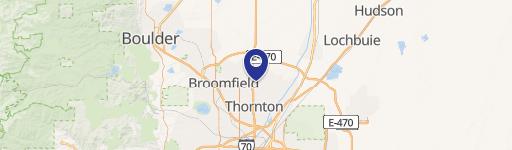
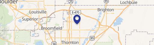
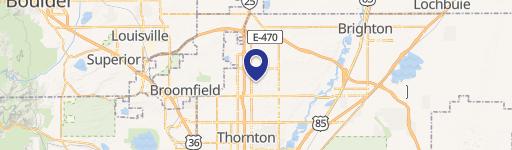
150 136th Ave, Thornton, CO 80241-1704
- Commercial land
- 1.68 lot acres
Current Use by Public Records
- Commercial land
Property Details for 150 136th Ave
- Lot size
- 1.68 lot acres
- Property type
- Commercial land
- APN
- R0193836
- APU
- R0193836
Sales History
| Date | Price | Buyer | Seller | Deed Type | Mortgage |
|---|---|---|---|---|---|
| Aug 18, 2023 | — | Mcdonalds USA LLC | 136 Joint Venture | Lease | — |
Description
Exceptional investment opportunity: a brand new, 4,462 square foot McDonald's ground lease in Thornton, Colorado. This single-tenant building sits on a 1.68-acre lot and boasts a 3.50% cap rate with a net operating income (NOI) of $145,000. Constructed in 2023, the property enjoys a prime location at the intersection of Grant Street and East 136th Avenue, less than a quarter mile from I-25, ensuring high visibility to over 120,000 vehicles daily. The surrounding area features a robust mix of national retailers, including In-N-Out, Raising Cane's, Kum & Go, Canvas Credit Union, and the Denver Premium Outlets with 80+ stores. Ample parking is available, with 39 spaces per 1,000 square feet. This offering presents a rare chance to acquire a high-performing, established McDonald's location in a thriving Colorado market. The asking price is $4,142,857. This property is an excellent addition to any commercial real estate portfolio seeking strong returns and stable tenancy. The property's address is 150 E 136th Ave, Thornton, CO 80241.
Value Estimations
-
AI approach
-
CAP approach
-
Comparable approach
-
Alternative Use
Get a detailed, property-specific estimation — fast and free
Location Insight
- Map
- Local Demand
- City
- Thornton
- County
- Adams
- State
- Colorado
- Longitude
- -104.984
- Latitude
- 39.9425
- CBSA code
- 19740
- CBSA name
- DENVER-AURORA, CO METROPOLITAN STATISTICAL AREA