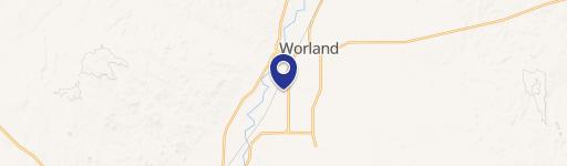
1492 Rd 13 Worland, WY 82401-9561
Property profile & analytics
1492 Rd 13, Worland, WY 82401-9561
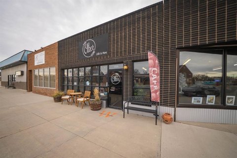
- Commercial real estate
- 4.25 lot acres
Property ID
US95-0013114
The Realmo ID is a unique identifier assigned to every property, incorporating country codes and precise geo-coordinates for 300x300-foot land blocks. It enables standardized data collection and seamless integration of disparate sources such as ownership, tax, title data and physical specifications. By aggregating current and historical records, the Realmo ID powers advanced analytics and delivers deep, verifiable insights for real estate professionals.
Location Intelligence
Current Use by Public Records
- Commercial real estate
Property Details for 1492 Rd 13
- Lot size
- 4.25 lot acres
- Property type
- Commercial real estate
- APN
- 46931242300300
- APU
- 46931242300300
Sales History
| Date | Price | Buyer | Seller | Deed Type | Mortgage |
|---|---|---|---|---|---|
| Aug 21, 2025 | — | Joseph J Salzman | Justine D Madden | Warranty Deed | $140k · Big Horn Fsb |
| Jul 30, 2025 | — | Justine D Madden | Peter A Smith | Deed · related | — |
| Jun 17, 2022 | — | Peter A Smith | Dan Madden | Deed · related | $146k · Security State Bank |
Value Estimations
based on Realmo’s proprietary methodology
-
AI approach
-
CAP approach
-
Comparable approach
-
Alternative Use
Get a detailed, property-specific estimation — fast and free
Location Insight
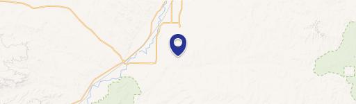
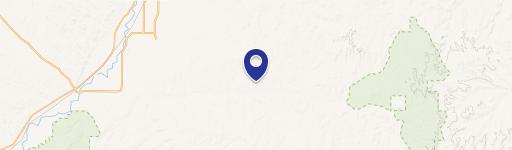
- Map
- Local Demand
- City
- Worland
- County
- Washakie
- State
- Wyoming
- Longitude
- -107.969
- Latitude
- 43.966
Property Tax & Assessments
Tax date
Tax Amount
Assessed Land Value
Assessed Improvement Value
Total Assessed Value
Applied Tax Rate
Land Market Value
Improvement Market Value
Total Market Value
2023
$753
$6,862
$4,089
$10,951
-
$72,231
$43,040
$115,271