1483 Sugarland Dr Sheridan, WY 82801-5731
Property profile & analytics
1483 Sugarland Dr, Sheridan, WY 82801-5731
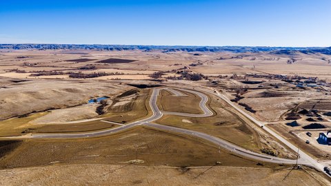
- Commercial land
- 1.40 lot acres
Property ID
US95-0304191
The Realmo ID is a unique identifier assigned to every property, incorporating country codes and precise geo-coordinates for 300x300-foot land blocks. It enables standardized data collection and seamless integration of disparate sources such as ownership, tax, title data and physical specifications. By aggregating current and historical records, the Realmo ID powers advanced analytics and delivers deep, verifiable insights for real estate professionals.
Location Intelligence
Current Use by Public Records
- Commercial land
Property Details for 1483 Sugarland Dr
- Lot size
- 1.40 lot acres
- Property type
- Commercial land
- APN
- 03-5684-35-4-56-008-25
- APU
- 356843545600825
Sales History
| Date | Price | Buyer | Seller | Deed Type | Mortgage |
|---|---|---|---|---|---|
| Jun 12, 2024 | — | Wyo Wood Properties LLC | — | Deed · related | $1.6M · First Northern Bank Of Wyoming |
| Aug 22, 2023 | — | Wyo Wood Properties LLC | Sunlight Federal Credit Union | Warranty Deed | — |
| Jan 18, 2019 | — | Sunlight Federal Credit Union | Homer A Scott JR | Warranty Deed | — |
| Jan 11, 2018 | — | Homer A Scott JR | Sugarland Development Company | Warranty Deed | — |
Value Estimations
based on Realmo’s proprietary methodology
-
AI approach
-
CAP approach
-
Comparable approach
-
Alternative Use
Get a detailed, property-specific estimation — fast and free
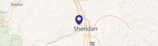
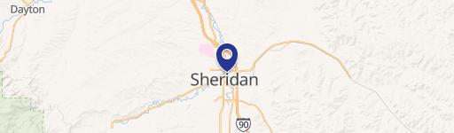
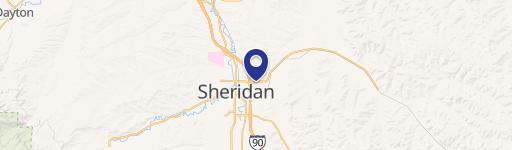
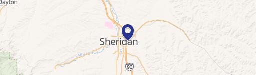
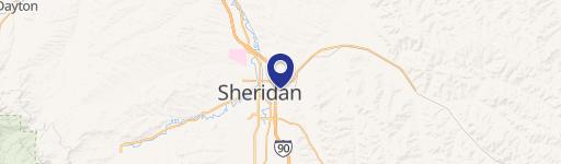
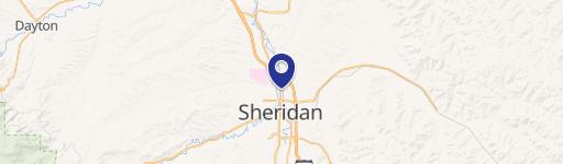
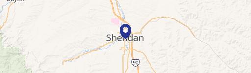
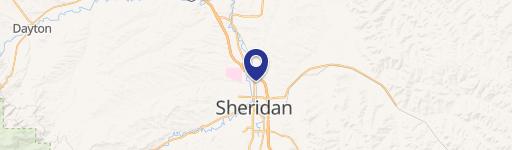
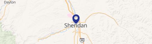
Location Insight
- Map
- Local Demand
- City
- Sheridan
- County
- Sheridan
- State
- Wyoming
- Longitude
- -106.939
- Latitude
- 44.7827
- CBSA code
- 43260
- CBSA name
- SHERIDAN, WY MICROPOLITAN STATISTICAL AREA
Property Tax & Assessments
Tax date
Tax Amount
Assessed Land Value
Assessed Improvement Value
Total Assessed Value
Applied Tax Rate
Land Market Value
Improvement Market Value
Total Market Value
2022
$2,895
$38,931
$0.00
$38,931
-
$409,800
$0.00
$409,800