
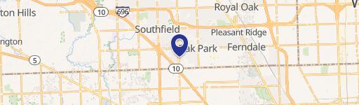
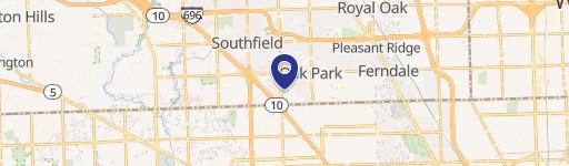
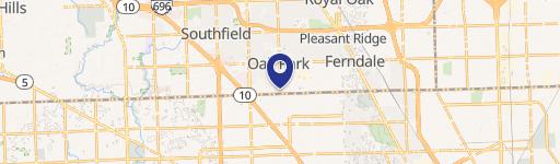
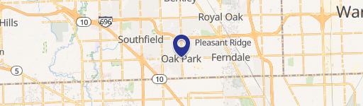
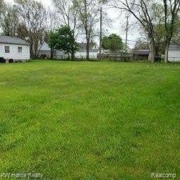
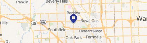
14650 8th Mile Rd, Oak Park, MI 48237-3047
This exceptional 0.88-acre commercial land parcel presents a remarkable investment opportunity in Oak Park, Michigan. Located at 14650 West Eight Mile Road, this property boasts a highly desirable corner location, benefiting from exceptional visibility and accessibility. With a convenient proximity to the Lodge Freeway (within a quarter-mile), this site enjoys significant traffic exposure, estimated at 70,000 vehicles daily on Eight Mile Road. The property's industrial zoning (APN 25-31-451-006) allows for a diverse range of development possibilities, making it ideal for various commercial ventures. Adding to its appeal, the site is situated directly across from the recently constructed Forgotten Harvest facility. The asking price for this strategically positioned land is $399,000. This presents a rare chance to acquire a buildable lot in a thriving area with excellent infrastructure and high traffic volume. Don't miss this opportunity to secure a prime location for your next commercial project. The property is located in Oakland County, Michigan, with a zip code of 48237.
Cap rate
Implied · in-place · derived from last sale + estimated NOIValue
AI, CAP & Alternative Use estimations · Realmo proprietary blendProperty tax & assessments
Tax year 2023Comparables
6 recent transactions · within 1.5 miComparable in this City


Similar Nearby for Sale


Similar Nearby for Lease


Property description
Physical attributes from public recordsZoning & alternative use
LI · Oak Park, MIOak Park. Always verify with local authorities before improvements.
Costs & Benchmarks
Operating expenses, capex projections, utility benchmarks, and submarket comparables — all in one view.
Risks
Flood, climate, environmental, title, and tenant-concentration risk — surfaced with mitigations and source citations.


