141 Southpointe Dr Byram, MS 39272-5566
Property profile & analytics
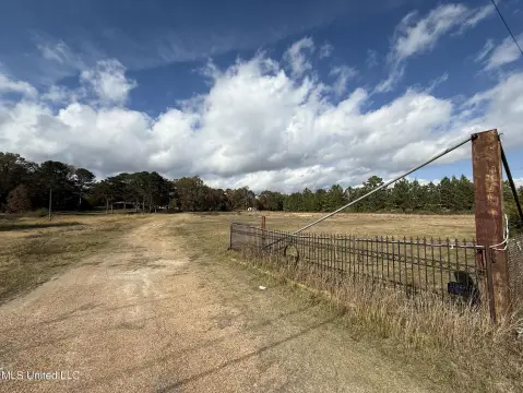
141 Southpointe Dr, Byram, MS 39272-5566
- Commercial real estate
- 5,050 SF
- 1.28 lot acres
Property ID
US50-0249850
The Realmo ID is a unique identifier assigned to every property, incorporating country codes and precise geo-coordinates for 300x300-foot land blocks. It enables standardized data collection and seamless integration of disparate sources such as ownership, tax, title data and physical specifications. By aggregating current and historical records, the Realmo ID powers advanced analytics and delivers deep, verifiable insights for real estate professionals.
Location Intelligence
Current Use by Public Records
- Commercial real estate
Property Details for 141 Southpointe Dr
- Year built
- 2000
- Lot size
- 1.28 lot acres
- Property type
- Commercial real estate
- APN
- 4851 0200 088
- APU
- 48510200088
Sales History
| Date | Price | Buyer | Seller | Deed Type | Mortgage |
|---|---|---|---|---|---|
| Aug 19, 2010 | — | Owner Name Unavailable | Owner Name Unavailable | Grant Deed · related | — |
| Dec 8, 2009 | — | Medlock,katherine D | Owner Name Unavailable | Grant Deed · related | — |
| Nov 16, 2005 | — | Westerfield,denise | Owner Name Unavailable | Grant Deed · related | — |
| Sep 23, 2002 | — | Southpointe Investments LLC | — | Warranty Deed · related | — |
Value Estimations
based on Realmo’s proprietary methodology
-
AI approach
-
CAP approach
-
Comparable approach
-
Alternative Use
Get a detailed, property-specific estimation — fast and free
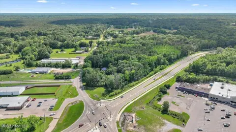
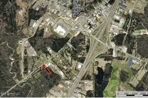
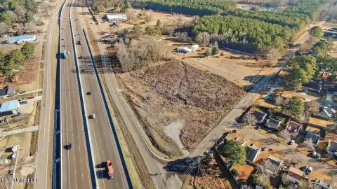
Location Insight
- Map
- Local Demand
- City
- Byram
- County
- Hinds
- State
- Mississippi
- Longitude
- -90.2517
- Latitude
- 32.1885
- CBSA code
- 27140
- CBSA name
- JACKSON, MS METROPOLITAN STATISTICAL AREA
Property Tax & Assessments
Tax date
Tax Amount
Assessed Land Value
Assessed Improvement Value
Total Assessed Value
Applied Tax Rate
Land Market Value
Improvement Market Value
Total Market Value
2023
$0.00
$0.00
$0.00
$0.00
-
$96,000
$201,510
$297,510