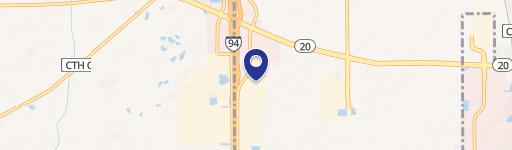
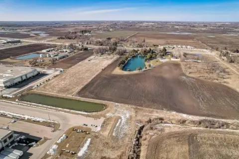
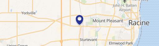
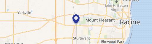
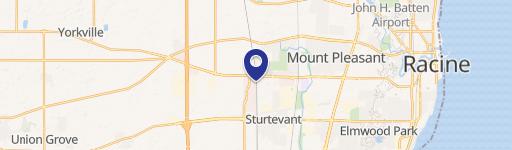
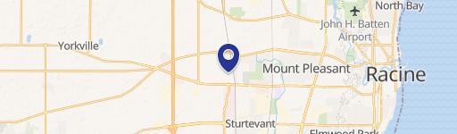
14017 Durand Ave Sturtevant, WI 53177-2542
Property profile & analytics
14017 Durand Ave, Sturtevant, WI 53177-2542
- Commercial land
- 3.55 lot acres
Property ID
US92-0952809
The Realmo ID is a unique identifier assigned to every property, incorporating country codes and precise geo-coordinates for 300x300-foot land blocks. It enables standardized data collection and seamless integration of disparate sources such as ownership, tax, title data and physical specifications. By aggregating current and historical records, the Realmo ID powers advanced analytics and delivers deep, verifiable insights for real estate professionals.
Location Intelligence
Current Use by Public Records
- Commercial land
Property Details for 14017 Durand Ave
- Lot size
- 3.55 lot acres
- Property type
- Commercial land
- APN
- 194 032125005001
- APU
- 194032125005001
Sales History
| Date | Price | Buyer | Seller | Deed Type | Mortgage |
|---|---|---|---|---|---|
| Aug 17, 2018 | $2,450,000 | Durand Corners LLC | Landcorp LLC | Grant Deed | — |
| Aug 17, 2018 | $1,750,000 | Landcorp LLC | Maria C Vargas | Warranty Deed | — |
| May 31, 2005 | — | Maria Vargas | — | Trustees Deed · related | $150k · John Schoppe |
| May 27, 2005 | $400,000 | Maria C Vargas | Orth,allen C | Warranty Deed | $994k · Wauwatosa Savings Bank |
Value Estimations
based on Realmo’s proprietary methodology
-
AI approach
-
CAP approach
-
Comparable approach
-
Alternative Use
Get a detailed, property-specific estimation — fast and free
Location Insight
- Map
- Local Demand
- City
- Sturtevant
- County
- Racine
- State
- Wisconsin
- Longitude
- -87.9605
- Latitude
- 42.6953
- CBSA code
- 39540
- CBSA name
- RACINE, WI METROPOLITAN STATISTICAL AREA
Property Tax & Assessments
Tax date
Tax Amount
Assessed Land Value
Assessed Improvement Value
Total Assessed Value
Applied Tax Rate
Land Market Value
Improvement Market Value
Total Market Value
2023
$5,553
$355,000
$0.00
$355,000
-
$366,113
$0.00
$366,113