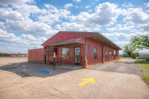
13552 Hwy 76 Lindsay, OK 73052-9290
Property profile & analytics
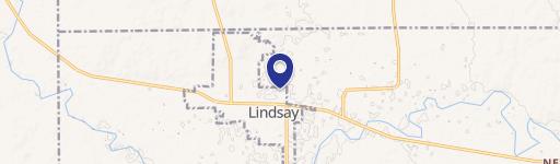
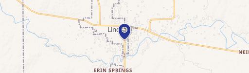
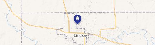
13552 Hwy 76, Lindsay, OK 73052-9290
- Commercial real estate
- 3,604 SF
- 6.06 lot acres
Property ID
US69-1506542
The Realmo ID is a unique identifier assigned to every property, incorporating country codes and precise geo-coordinates for 300x300-foot land blocks. It enables standardized data collection and seamless integration of disparate sources such as ownership, tax, title data and physical specifications. By aggregating current and historical records, the Realmo ID powers advanced analytics and delivers deep, verifiable insights for real estate professionals.
Location Intelligence
Current Use by Public Records
- Commercial real estate
Property Details for 13552 Hwy 76
- Year built
- 1975
- Lot size
- 6.06 lot acres
- Zone code
- C1
- Property type
- Commercial real estate
- APN
- 0000-22-04N-04W-0-024-00
- APU
- 00002204N04W002400
Sales History
| Date | Price | Buyer | Seller | Deed Type | Mortgage |
|---|---|---|---|---|---|
| Jul 18, 2022 | $575,000 | Mrm Holdings LLC | Carl R Dutton | Warranty Deed | $545k · Great Plains National Bank |
Value Estimations
based on Realmo’s proprietary methodology
-
AI approach
- Method
- Estimation
- Statistic approach
- $615,000
- ML approach
- $615,000
-
Comparable approach
- Method
- Estimation
- AI Estimate
- $793,000
Market price range: $250k - $793k -
Alternative Use
- Use
- Estimation
- COMMERCIAL (GENERAL)
- $515,000 Current use
- OFFICE BUILDING
- $985,000 Change: +91% Conversion: Easy
- MEDICAL BUILDING
- $415,000 Change: -19% Conversion: Easy
Get a detailed, property-specific estimation — fast and free
Location Insight
- Map
- Local Demand
- City
- Lindsay
- County
- Garvin
- State
- Oklahoma
- Longitude
- -97.5994
- Latitude
- 34.8052
Property Tax & Assessments
Tax date
Tax Amount
Assessed Land Value
Assessed Improvement Value
Total Assessed Value
Applied Tax Rate
Land Market Value
Improvement Market Value
Total Market Value
2023
$1,636
$17,998
$1,690
$19,688
-
$163,620
$15,360
$178,980