Property profile & analytics
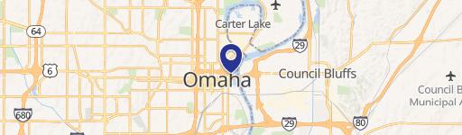
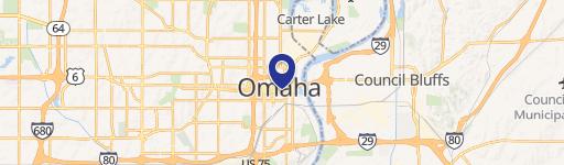
1319 Howard St Omaha, NE 68102-2820
- Commercial land
- 5,300 SF
- 0.14 lot acres
OFF-MARKET
Value Estimations
$1,355,000
Show details
Cap Rate Potential
Location Intelligence
Property ID
US57-0226498
The Realmo ID is a unique identifier assigned to every property, incorporating country codes and precise geo-coordinates for 300x300-foot land blocks. It enables standardized data collection and seamless integration of disparate sources such as ownership, tax, title data and physical specifications. By aggregating current and historical records, the Realmo ID powers advanced analytics and delivers deep, verifiable insights for real estate professionals.
Current Use by Public Records
- Sharp Towing Recovery Co. / Auto Repair Shop
- First Choice Data Recovery / Tech Support Center / (Bike/Boat/Book/etc) Store
Property Details for 1319 Howard St
- Year built
- 1955
- Lot size
- 0.14 lot acres
- Property size
- 5,300 SF
- Property type
- Commercial land
- APN
- 315560003
- APU
- 315560003
Value Estimations
based on Realmo’s proprietary methodology
-
Alternative Use
- Use
- Estimation
- RESTAURANT
- $1,740,000
- NEIGHBORHOOD: SHOPPING CENTER
- $990,000
- RETAIL STORES
- $830,000
Get a detailed, property-specific valuation — fast and free
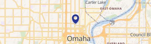
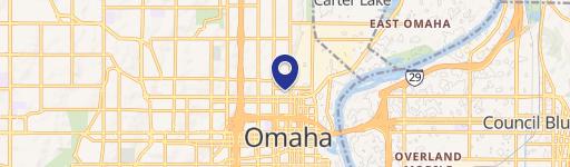
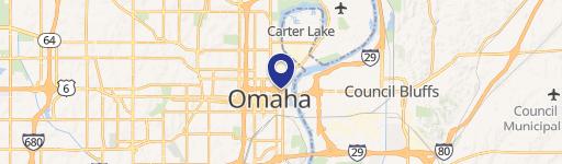
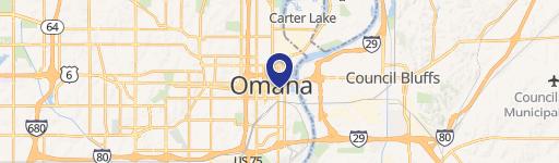
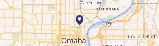
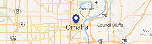
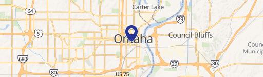
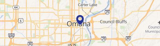
Location Insight
- Map
- Local Demand
- City
- Omaha
- County
- Douglas
- State
- Nebraska
- Longitude
- -95.9342
- Latitude
- 41.2552
- CBSA code
- 36540
- CBSA name
- OMAHA-COUNCIL BLUFFS, NE-IA METROPOLITAN STATISTICAL AREA
Property Tax & Assessments
Tax date
Tax Amount
Assessed Land Value
Assessed Improvement Value
Total Assessed Value
Applied Tax Rate
Land Market Value
Improvement Market Value
Total Market Value
2022
$0.00
$0.00
$0.00
$0.00
-
$0.00
$0.00
$0.00