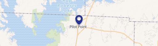
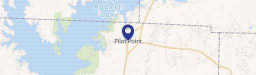
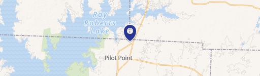
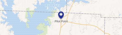
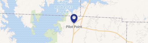
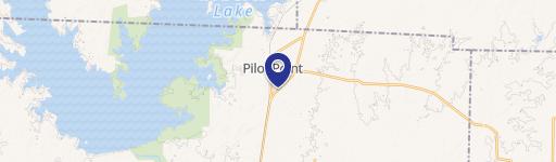
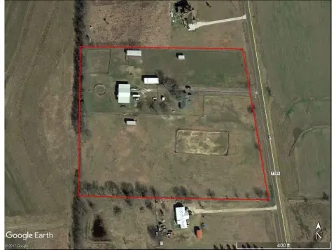
1301 Hwy 377 Pilot Point, TX 76258-4049
Property profile & analytics
1301 Hwy 377 Pilot Point, TX 76258-4049
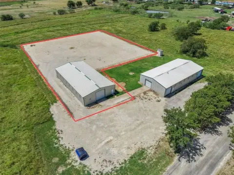
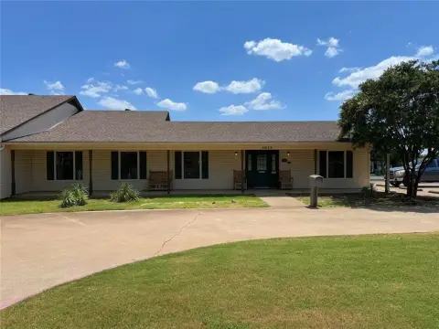
- Commercial real estate
- 13,220 SF
- 1.88 lot acres
Property ID
US83-1932553
The Realmo ID is a unique identifier assigned to every property, incorporating country codes and precise geo-coordinates for 300x300-foot land blocks. It enables standardized data collection and seamless integration of disparate sources such as ownership, tax, title data and physical specifications. By aggregating current and historical records, the Realmo ID powers advanced analytics and delivers deep, verifiable insights for real estate professionals.
Location Intelligence
Current Use by Public Records
- Commercial real estate
Property Details for 1301 Hwy 377
- Year built
- 1983
- Lot size
- 1.88 lot acres
- Property size
- 13,220 SF
- Property type
- Commercial real estate
- APN
- R111828
- APU
- R111828
Value Estimations
based on Realmo’s proprietary methodology
-
AI approach
- Method
- Estimation
- ML approach
- $475,000
-
Comparable approach
- Method
- Estimation
- AI Estimate
- $840,000
Market price range: $596k - $2.21M
Get a detailed, property-specific estimation — fast and free
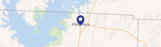
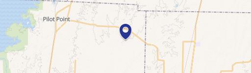
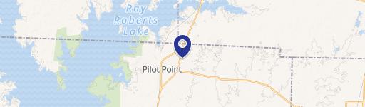
Location Insight
- Map
- Local Demand
- City
- Pilot Point
- County
- Denton
- State
- Texas
- Longitude
- -96.9413
- Latitude
- 33.4085
- CBSA code
- 19100
- CBSA name
- DALLAS-FORT WORTH-ARLINGTON, TX METROPOLITAN STATISTICAL AREA
Property Tax & Assessments
Tax date
Tax Amount
Assessed Land Value
Assessed Improvement Value
Total Assessed Value
Applied Tax Rate
Land Market Value
Improvement Market Value
Total Market Value
2023
$15,249
$327,920
$492,167
$820,087
-
$327,920
$492,167
$820,087