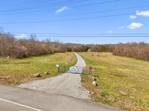
130 Woodside St Lewisburg, TN 37091-2866
Property profile & analytics
130 Woodside St, Lewisburg, TN 37091-2866
- Manufacturing properties
- 83,670 SF
- 3.50 lot acres
Property ID
US80-2948217
The Realmo ID is a unique identifier assigned to every property, incorporating country codes and precise geo-coordinates for 300x300-foot land blocks. It enables standardized data collection and seamless integration of disparate sources such as ownership, tax, title data and physical specifications. By aggregating current and historical records, the Realmo ID powers advanced analytics and delivers deep, verifiable insights for real estate professionals.
Location Intelligence
Current Use by Public Records
- Manufacturing properties
Property Details for 130 Woodside St
- Year built
- 2016
- Construction
- MASONRY/CONCRETE MASONRY UNITS (CMUS)
- Lot size
- 3.50 lot acres
- Property type
- Manufacturing properties
- APN
- 059064O A 03101
- APU
- 059064OA03101
Sales History
| Date | Price | Buyer | Seller | Deed Type | Mortgage |
|---|---|---|---|---|---|
| Oct 8, 2025 | — | The Kirk J Kelso Legacy Trust | Kirk J Kelso | Deed · related | — |
| Oct 7, 2025 | — | Genie Marie Hawkins Kelso Legacy Tr | Genie H Kelso | Deed · related | — |
| Dec 30, 2021 | — | Flying Hawk LLC | Thomas Hale Hawkins IV | Quit Claim Deed · related | — |
Value Estimations
based on Realmo’s proprietary methodology
-
Alternative Use
- Use
- Estimation
- INDUSTRIAL (GENERAL)
- $1,740,000 Current use
Get a detailed, property-specific estimation — fast and free
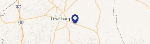
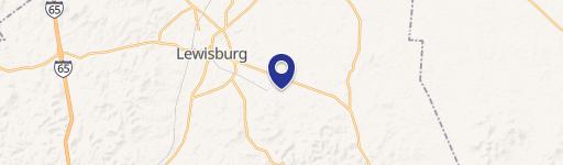
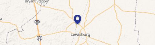
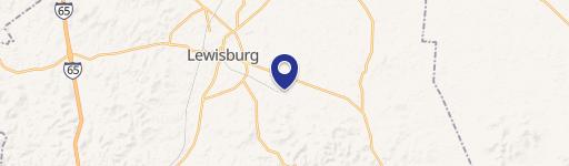
Location Insight
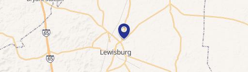
- Map
- Local Demand
- City
- Lewisburg
- County
- Marshall
- State
- Tennessee
- Longitude
- -86.7818
- Latitude
- 35.4482
- CBSA code
- 30280
- CBSA name
- LEWISBURG, TN MICROPOLITAN STATISTICAL AREA
Property Tax & Assessments
Tax date
Tax Amount
Assessed Land Value
Assessed Improvement Value
Total Assessed Value
Applied Tax Rate
Land Market Value
Improvement Market Value
Total Market Value
2021
$0.00
$82,280
$1,381,960
$1,464,240
-
$205,700
$3,454,900
$3,660,600