 Entity Owned
 Property summary
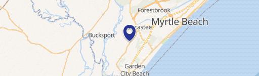
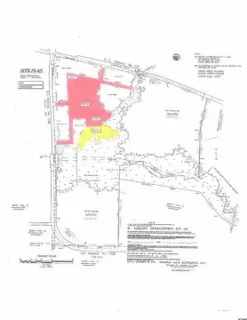
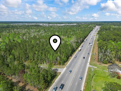
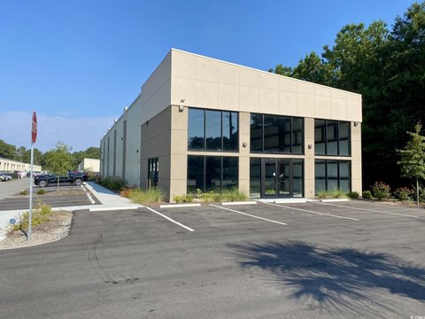
Exceptional 1.48-acre commercial land parcel in Myrtle Beach, SC, strategically located near the intersection of US 544 and SC Hwy 31 in Socastee. Boasting unparalleled visibility with a daily traffic count of 44,100 vehicles, this property offers maximum exposure. Its convenient location provides easy access to North Myrtle Beach and Murrells Inlet, both within a 20-minute drive. The land features split zoning: one acre is designated Highway Commercial (HC), while the remaining 0.48 acres is zoned Commercial Forest Agriculture (CFA), allowing for diverse commercial development opportunities. All essential utilities, including water, sewer, and electricity, are readily available. The asking price is $603,125, translating to $407,517.52 per acre. The property's APN is 440010200052, and it's owned by CDM Land LLC. This prime location and flexible zoning make this an exceptional investment opportunity.
Property profile
VerifiedCap rate & NOI
Current use
-
Loan Service
-
Locksmith
-
Locksmith
Location
Value estimations
Owner & transaction history
Zoning & alternative use
Comparables
6 recent transactions · within 1.5 miComparable in this City


Similar Nearby for Sale


Similar Nearby for Lease




Value estimation
Instant AI valuation built from comps, income signals, and proprietary benchmarks. A defensible range, not a single guess.
from $99/month
Cap rate
Cap rate calculated from real income and expense signals, benchmarked against sales of similar assets nearby.
from $99/month
Price sensitivity
The rate is the decision lever; valuation is the consequence.
Property tax & assessments
Tax year 2023Property description
Physical attributes from public recordsZoning & alternative use
HC · Myrtle Beach, SCZoning
The recorded zoning designation, what the district officially allows, and the municipal source it comes from.
Zoning designation
What can be built and operated here — officially.
The district profile from the municipal source: what is on file for HC in Myrtle Beach, SC.
Registration is required before the official district profile is shown.
Find the owner behind the property.
Unlock the evidence behind ownership: portfolio, transactions, debt and signals that help you decide who to contact next.
Registration is required before any owner information is shown.
- Full Property Data
- Historical Records
- Value Estimation
- NOI Potential
- Cap Rate Calculation
- Ownership
- Location Insight
- Alternative use
- Local Zoning Insight
Cancel anytime.
- 30 reports a month
- Location Analytics
- Market Trends
- Full Property Data
- Historical Records
- Value Estimation
- NOI Potential
- Cap Rate Calculation
- Ownership
- Location Insight
- Alternative use
- Local Zoning Insight
Cancel anytime.
- 300 reports a month
- Location Analytics
- Market Trends
- Full Property Data
- Historical Records
- Value Estimation
- NOI Potential
- Cap Rate Calculation
- Ownership
- Location Insight
- Alternative use
- Local Zoning Insight
and get 1 Light Report
- Property Information
- Historical Records
- Value Estimation
- NOI Potential
- Cap Rate Potential
- Location Insight
- Alternative use
- Local Zoning Insight


