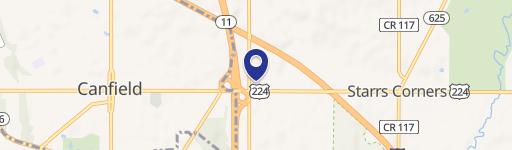
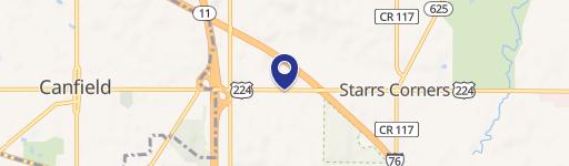
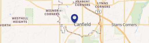
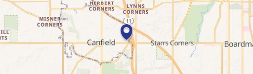
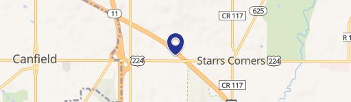
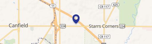
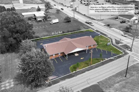
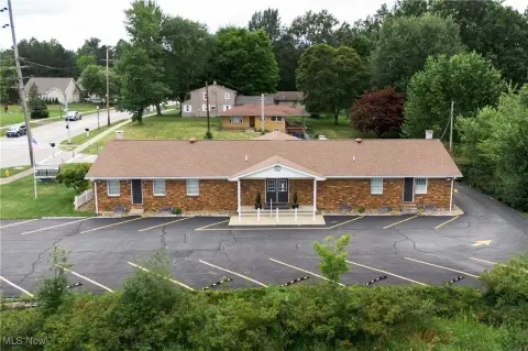
13 Talsman Dr Canfield, OH 44406-2200
Property profile & analytics
13 Talsman Dr, Canfield, OH 44406-2200
- Drive through restaurants
- 3,470 SF
- 1.34 lot acres
Property ID
US66-2048397
The Realmo ID is a unique identifier assigned to every property, incorporating country codes and precise geo-coordinates for 300x300-foot land blocks. It enables standardized data collection and seamless integration of disparate sources such as ownership, tax, title data and physical specifications. By aggregating current and historical records, the Realmo ID powers advanced analytics and delivers deep, verifiable insights for real estate professionals.
Location Intelligence
Current Use by Public Records
- Arby's / Restaurant
Property Details for 13 Talsman Dr
- Year built
- 2015
- Lot size
- 1.34 lot acres
- Property type
- Drive through restaurants
- APN
- 28-034-0-010.00-0
- APU
- 280340010000
Sales History
| Date | Price | Buyer | Seller | Deed Type | Mortgage |
|---|---|---|---|---|---|
| Nov 6, 2025 | — | Hubbard Realty Business INC | — | Deed · related | $900k · Mercer County State Bank |
| Jun 5, 2017 | — | Hubbard Realty Business INC | — | Deed · related | $547k · The Cortland Savings & Banking Co |
| Jan 27, 2014 | $575,000 | Hubbard Realty Business INC | Farmers Trust Company | Warranty Deed | $575k · The Cortland Savings & Banking Co |
Value Estimations
based on Realmo’s proprietary methodology
-
AI approach
-
CAP approach
-
Comparable approach
-
Alternative Use
Get a detailed, property-specific estimation — fast and free
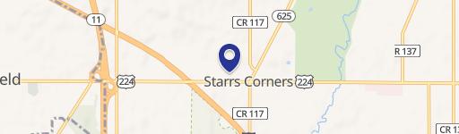
Location Insight
- Map
- Local Demand
- City
- Canfield
- County
- Mahoning
- State
- Ohio
- Longitude
- -80.7426
- Latitude
- 41.0253
- CBSA code
- 49660
- CBSA name
- YOUNGSTOWN-WARREN-BOARDMAN, OH-PA METROPOLITAN STATISTICAL AREA
Property Tax & Assessments
Tax date
Tax Amount
Assessed Land Value
Assessed Improvement Value
Total Assessed Value
Applied Tax Rate
Land Market Value
Improvement Market Value
Total Market Value
2023
$23,165
$163,930
$231,370
$395,300
-
$468,360
$661,050
$1,129,410