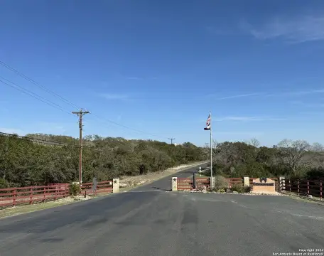
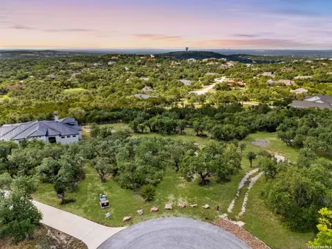
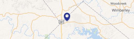
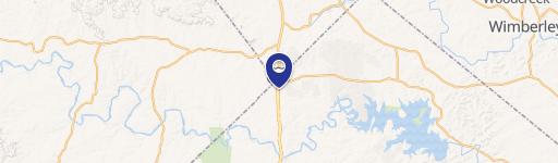
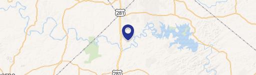
12910 Us Hwy 281st N Spring Branch, TX 78070-3935
Property profile & analytics
12910 Us Hwy 281st N, Spring Branch, TX 78070-3935
- Commercial real estate
- 240 SF
- 2.07 lot acres
Property ID
US82-3306904
The Realmo ID is a unique identifier assigned to every property, incorporating country codes and precise geo-coordinates for 300x300-foot land blocks. It enables standardized data collection and seamless integration of disparate sources such as ownership, tax, title data and physical specifications. By aggregating current and historical records, the Realmo ID powers advanced analytics and delivers deep, verifiable insights for real estate professionals.
Location Intelligence
Current Use by Public Records
- Commercial real estate
Property Details for 12910 Us Hwy 281st N
- Year built
- 1982
- Lot size
- 2.07 lot acres
- Property type
- Commercial real estate
- APN
- 32-0485-0017-00
- APU
- 320485001700
Sales History
| Date | Price | Buyer | Seller | Deed Type | Mortgage |
|---|---|---|---|---|---|
| Jul 12, 2022 | — | Spring Branch Restaurant Developers | — | Deed · related | $316k · Wells Fargo Bank NA |
| Apr 7, 2020 | — | Spring Br Restaurant Developer | Ledge Creek Ents INC | Grant Deed | — |
| Mar 6, 2009 | — | Ledge Creek Enterprises INC | Spring Branch Restaurant Developers | Warranty Deed | — |
| Jan 8, 2009 | — | Ledge Creek Ents INC | Owner Name Unavailable | Grant Deed · related | — |
| Aug 28, 2008 | — | Spring Br Restaurant Developer | Teamco Land & Dev | Warranty Deed · related | $260k · Tymis INC |
| May 20, 2008 | — | Teamco Land | Pools,koala | Warranty Deed · related | — |
| Feb 21, 2008 | — | Koala Pools | Steves,ronald | Warranty Deed · related | — |
| Sep 17, 2007 | — | Ron Steves | Teamco Land & Dev | Warranty Deed · related | — |
| Mar 23, 2006 | — | Teamco Land | Tymis INC | Grant Deed · related | — |
| Mar 7, 2006 | — | Teamco Land | Tymis INC | Quit Claim Deed · related | $260k · Tymis INC |
Value Estimations
based on Realmo’s proprietary methodology
-
AI approach
-
CAP approach
-
Comparable approach
-
Alternative Use
Get a detailed, property-specific estimation — fast and free
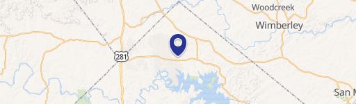
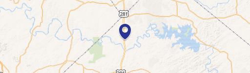
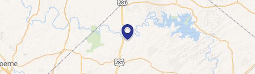
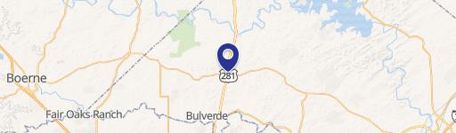
Location Insight
- Map
- Local Demand
- City
- Spring Branch
- County
- Comal
- State
- Texas
- Longitude
- -98.4101
- Latitude
- 29.9213
- CBSA code
- 41700
- CBSA name
- SAN ANTONIO, TX METROPOLITAN STATISTICAL AREA
Property Tax & Assessments
Tax date
Tax Amount
Assessed Land Value
Assessed Improvement Value
Total Assessed Value
Applied Tax Rate
Land Market Value
Improvement Market Value
Total Market Value
2023
$19,922
$605,060
$663,700
$1,268,760
-
$605,060
$663,700
$1,268,760