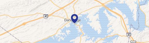
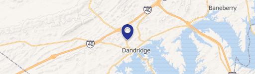
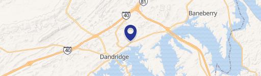
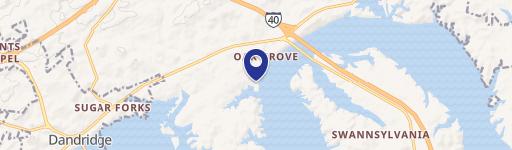
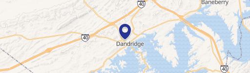
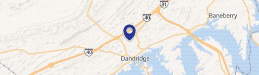
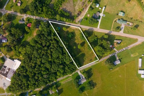
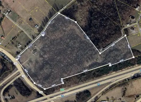
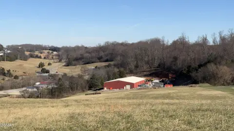
1291 Hwy 25th 70 Dandridge, TN 37725-5730
-
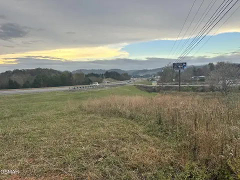
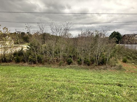
Double R Farms Food Processing Plant
All property annexed into the Town’s corporate limits shall be classified as R-1. All properties located in the annexed area which do not conform to the regulations of the R-1 zoning district shall be “grandfathered” in and thereafter subject to Chapter 4, Section 303, unless a classification change is requested and granted by the Municipal Planning Commissi…
Cap rate
Implied · in-place · derived from last sale + estimated NOIValue
AI, CAP & Alternative Use estimations · Realmo proprietary blendProperty tax & assessments
Comparables
6 recent transactions · within 1.5 miComparable in this City
Similar Nearby for Sale

Similar Nearby for Lease


Property description
Physical attributes from public recordsZoning & alternative use
R-1 · Dandridge, TNAll property annexed into the Town’s corporate limits shall be classified as R-1. All properties located in the annexed area which do not conform to the regulations of the R-1 zoning district shall be “grandfathered” in and thereafter subject to Chapter 4, Section 303, unless a classification change is requested and granted by the Municipal Planning Commission. (per Ordinance No. 06/07-15) NOTE: Municipal Code - Title 14 - Chapter 6 - Annexation Classification of Districts. All property annexed into the Town’s corporate limits shall be reviewed by the Dandridge Regional Planning Commission for appropriate zoning. 44 The Dandridge Regional Planning Commission shall recommend a zoning district within the plan of services. The Board of Mayor and Aldermen shall classify all newly annexed property with a specific zone within the plan of services for annexation. (Per Ordinance No.16/17-06, October 11, 2016) 14-402. Boundaries of Districts. The town is hereby divided into districts, as shown on the official zoning map. The official “Zoning Map of Dandridge, Tennessee,” shall be the final authority as to the current zoning status of land and water areas, buildings, and other structures of the town. Unless otherwise indicated, the bound aries indicated as approximately following the center lines of streets, highways, or alleys shall be construed as following such centerlines. Boundaries which are indicated as following the town limit. Boundaries which are indicated as following Railroad l ines shall be construed to be midway between the main tracks. Boundaries which are indicted as approximat ely following the center lines of streams, lakes, and rivers, shall be construed to follow such centerlines. Distances not specifically indicated on th e of ficial zoning map shall be determined by the scale of the map. Questions concerning the exact locatio ns of the district boundaries shall be resolved by the board of zoning appeals. 14-403. Application of District Regulations. The regulations set by t his code within each district shall be minimum regulations and shall apply uniformly to each class or kind of structure or land. No building or structure or land shall hereafter be used or occupied, and no building or structure or part thereof shall hereaf ter be erected or altered to exceed the height or bulk; to cha nge occupancy; to accommodate or house a gr eater number of families; to occupy a greater percentage of lot area; or to have narrower or smaller rear yards, front yards, or other open space; than herein required.
Costs & Benchmarks
Operating expenses, capex projections, utility benchmarks, and submarket comparables — all in one view.
Risks
Flood, climate, environmental, title, and tenant-concentration risk — surfaced with mitigations and source citations.


