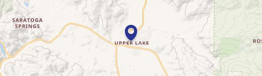
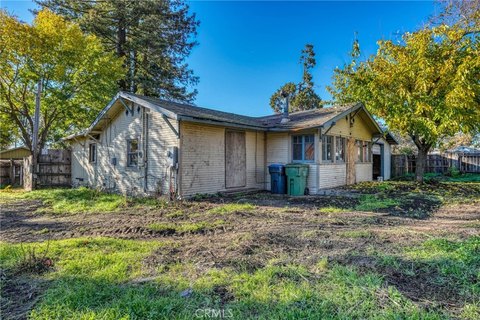
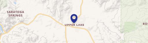
1285 State Hwy 20 Upper Lake, CA 95485-9503
Property profile & analytics
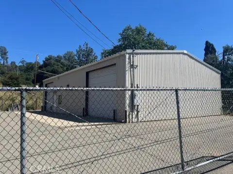
1285 State Hwy 20, Upper Lake, CA 95485-9503
- Retail space
- 1,224 SF
- 1.47 lot acres
Property ID
US09-2721071
The Realmo ID is a unique identifier assigned to every property, incorporating country codes and precise geo-coordinates for 300x300-foot land blocks. It enables standardized data collection and seamless integration of disparate sources such as ownership, tax, title data and physical specifications. By aggregating current and historical records, the Realmo ID powers advanced analytics and delivers deep, verifiable insights for real estate professionals.
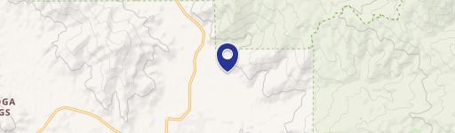
Location Intelligence
Current Use by Public Records
- Retail space
Property Details for 1285 State Hwy 20
- Year built
- 1955
- Construction
- WOOD
- Lot size
- 1.47 lot acres
- Zone code
- RR
- Property type
- Retail space
- APN
- 003-053-030-000
- APU
- 3053030000
Sales History
| Date | Price | Buyer | Seller | Deed Type | Mortgage |
|---|---|---|---|---|---|
| Dec 15, 2025 | — | Michael Ricetti | Michael Ricetti | Deed · related | — |
| Apr 10, 2024 | — | George David Ricetti | George David Ricetti | Intrafamily Transfer · related | — |
| Dec 29, 2017 | — | Ricetti,george D Living Trust | Ricetti,george | Quit Claim Deed · related | — |
| Nov 13, 2001 | — | George Ricetti | Andrew,d A | Quit Claim Deed · related | — |
| Dec 13, 1996 | — | George Ricetti | Ricetti,judith | Quit Claim Deed · related | $52k · Individual |
| Dec 13, 1996 | $57,500 | Ricetti,george | Kubas,james D | Trustees Deed · related | — |
| May 21, 1996 | — | James D Kubas | Hamel,robert A & Linda J | Quit Claim Deed · related | — |
| Feb 22, 1996 | $18,118 | Robert A Hamel | Habina,thomas J & Brenda K | Trustees Deed | — |
| Feb 17, 1994 | $105,000 | Thomas J Habina | Ricetti,george & | Grant Deed | $54k · Individual |
| — | — | Thomas J Habina | — | Deed Of Trust · related | $34k · Doren Trust |
| — | — | Thomas J Habina | — | Deed Of Trust · related | $10k · Individual |
Value Estimations
based on Realmo’s proprietary methodology
-
AI approach
-
CAP approach
-
Comparable approach
-
Alternative Use
Get a detailed, property-specific estimation — fast and free
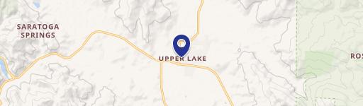
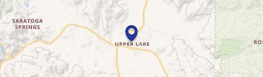
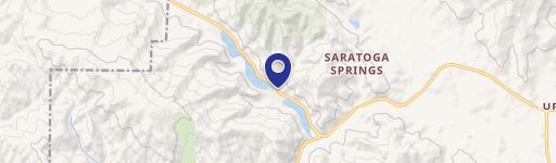
Location Insight
- Map
- Local Demand
- City
- Upper Lake
- County
- Lake
- State
- California
- Longitude
- -122.931
- Latitude
- 39.1671
- CBSA code
- 17340
- CBSA name
- CLEARLAKE, CA MICROPOLITAN STATISTICAL AREA
Property Tax & Assessments
Tax date
Tax Amount
Assessed Land Value
Assessed Improvement Value
Total Assessed Value
Applied Tax Rate
Land Market Value
Improvement Market Value
Total Market Value
2024
$1,373
$66,749
$36,742
$103,491
-
$0.00
$0.00
$0.00