
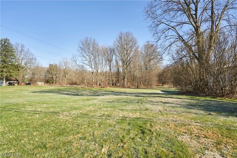
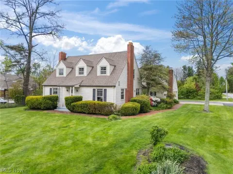
126 Flight Memorial Pkwy Akron, OH 44333-2488
Property profile & analytics
126 Flight Memorial Pkwy, Akron, OH 44333-2488
- Drive through restaurants
- 3,086 SF
- 0.92 lot acres
Property ID
US66-1127553
The Realmo ID is a unique identifier assigned to every property, incorporating country codes and precise geo-coordinates for 300x300-foot land blocks. It enables standardized data collection and seamless integration of disparate sources such as ownership, tax, title data and physical specifications. By aggregating current and historical records, the Realmo ID powers advanced analytics and delivers deep, verifiable insights for real estate professionals.
Location Intelligence
Current Use by Public Records
- Drive through restaurants
Property Details for 126 Flight Memorial Pkwy
- Year built
- 2000
- Lot size
- 0.92 lot acres
- Property type
- Drive through restaurants
- APN
- 15-07080
- APU
- 1507080
Sales History
| Date | Price | Buyer | Seller | Deed Type | Mortgage |
|---|---|---|---|---|---|
| Jun 26, 2023 | — | Flight Memorial Parkway LLC | Carol Strougo | Warranty Deed | — |
| Jun 7, 2023 | — | Carol Strougo | Estate Of John C Strougo | Certificate Of Transfer | — |
| Feb 22, 2006 | $1,150,000 | John C Strougo | Ms At Montrose LLC | Grant Deed | — |
| Feb 28, 2003 | $123,600 | Ms At Montrose LLC | Montrose Development INC | Grant Deed · related | — |
Value Estimations
based on Realmo’s proprietary methodology
-
AI approach
-
CAP approach
-
Comparable approach
-
Alternative Use
Get a detailed, property-specific estimation — fast and free
Location Insight
- Map
- Local Demand
- City
- Akron
- County
- Summit
- State
- Ohio
- Longitude
- -81.6431
- Latitude
- 41.1341
- CBSA code
- 10420
- CBSA name
- AKRON, OH METROPOLITAN STATISTICAL AREA
Property Tax & Assessments
Tax date
Tax Amount
Assessed Land Value
Assessed Improvement Value
Total Assessed Value
Applied Tax Rate
Land Market Value
Improvement Market Value
Total Market Value
2023
$27,609
$220,460
$161,620
$382,080
-
$629,870
$461,780
$1,091,650
Comparable in this City


Similar Nearby for Sale


Similar Nearby for Lease


Property Visit Statistics
-
Visits by month0
-
Visitors by month10.2k
-
Avg Time on site32 min


