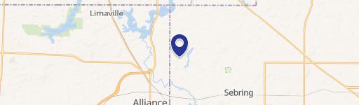
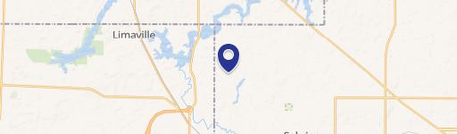
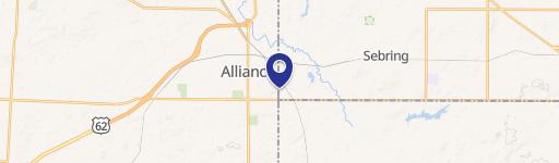
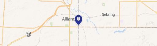
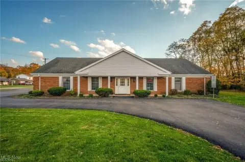
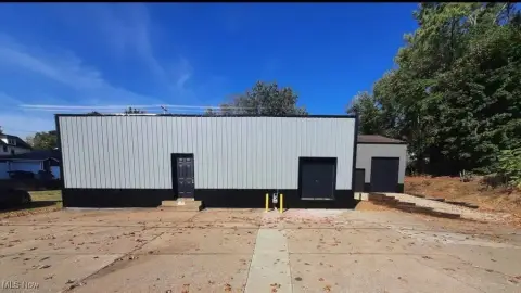
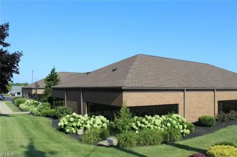
1255 Mahoning Ave Alliance, OH 44601
- Industrial properties
- 8,568 SF
- 1.26 lot acres
Current Use by Public Records
- Industrial properties
Property Details for 1255 Mahoning Ave
- Year built
- 1923
- Construction
- FRAME
- Lot size
- 1.26 lot acres
- Property size
- 8,568 SF
- Property type
- Industrial properties
- APN
- 01-05742
- APU
- 105742
Description
This exceptional 8.17-acre industrial property in Alliance, Ohio, presents a rare investment opportunity. The site includes a substantial 8,568 square foot warehouse building, ideally suited for a variety of industrial uses. The warehouse boasts impressive features including three 3-phase electrical services, a large overhead crane for heavy lifting, gas tube heaters for efficient climate control, multiple overhead doors for easy access, a convenient loading dock for streamlined operations, dedicated office space, and restrooms. The building's robust construction reflects its history as a former manufacturing facility, having served as the Merrick Lewis Alliance Machine, Chris Craft Factory, and Daisy BB Gun Manufacturing Warehouse. While some TLC is needed, the building's solid foundation and substantial features offer significant potential for redevelopment or repurposing. The property's I-2 zoning provides flexibility for various industrial applications. This expansive acreage, coupled with the substantial warehouse, represents a unique chance to acquire a significant industrial asset in a strategic location. The property's history and size make it an attractive proposition for investors and businesses seeking a substantial footprint in Alliance, Ohio. Serious inquiries are encouraged.
Value Estimations
-
AI approach
-
CAP approach
-
Comparable approach
-
Alternative Use
Get a detailed, property-specific valuation — fast and free
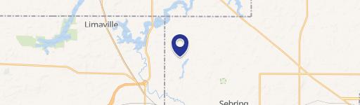
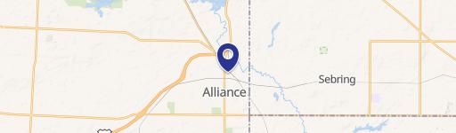
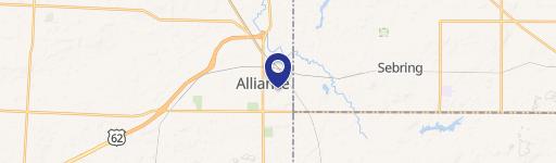
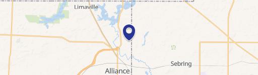
Location Insight
- Map
- Local Demand
- City
- Alliance
- County
- Stark
- State
- Ohio
- Longitude
- -81.0875
- Latitude
- 40.9085
- CBSA code
- 15940
- CBSA name
- CANTON-MASSILLON, OH METROPOLITAN STATISTICAL AREA