
125 Tpke Rd, Westborough, MA 01581-2841
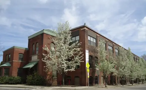
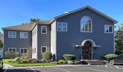
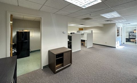
This two-story, Class B office building at 125 Turnpike Road in Westborough, Massachusetts, offers multiple tenancy options. The 21,031 square foot building sits on a 2.56-acre lot and was built in 1985. Currently, there are two available suites: a 1,000 square foot space on the second floor (unit 8), and a larger 2,718 square foot space (unit 9) spanning both floors. The minimum divisible space is 1,000 square feet, with a maximum contiguous space of 2,718 square feet. The total vacant space is 3,718 square feet. This Worcester County property enjoys a convenient location on Route 9, offering easy access to major roadways like Route 495 and I-90, making commuting for employees and clients simple. The building provides a well-managed and quiet environment, ideal for businesses seeking a productive workspace. The property is located in Westborough, MA, zip code 01581.
Cap rate
Implied · in-place · derived from last sale + estimated NOIValue
AI, CAP & Alternative Use estimations · Realmo proprietary blendProperty tax & assessments
Tax year 2024Comparables
6 recent transactions · within 1.5 miComparable in this City


Similar Nearby for Lease

Property description
Physical attributes from public recordsZoning & alternative use
BA · Westborough, MAWestborough. Always verify with local authorities before improvements.
Costs & Benchmarks
Operating expenses, capex projections, utility benchmarks, and submarket comparables — all in one view.
Risks
Flood, climate, environmental, title, and tenant-concentration risk — surfaced with mitigations and source citations.


