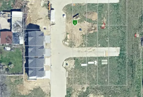
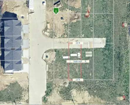
1225 2nd Ave Des Moines, IA 50314-3104
Property profile & analytics
1225 2nd Ave, Des Moines, IA 50314-3104
- Industrial land
- 100,729 SF
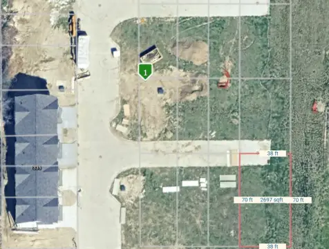
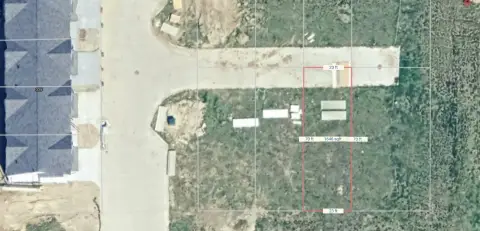
- 1.60 lot acres
Property ID
US25-0448828
The Realmo ID is a unique identifier assigned to every property, incorporating country codes and precise geo-coordinates for 300x300-foot land blocks. It enables standardized data collection and seamless integration of disparate sources such as ownership, tax, title data and physical specifications. By aggregating current and historical records, the Realmo ID powers advanced analytics and delivers deep, verifiable insights for real estate professionals.
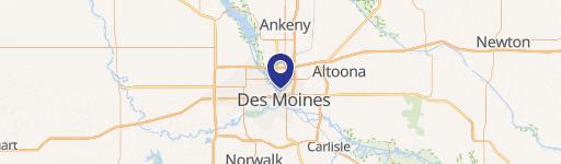
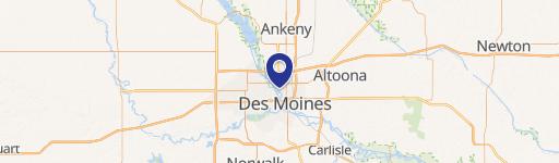
Location Intelligence
Current Use by Public Records
- Des Moines Independent Sch Dst / High School
Property Details for 1225 2nd Ave
- Year built
- 1930
- Construction
- BRICK
- Lot size
- 1.60 lot acres
- Zone code
- M-1
- Property type
- Industrial land
- APN
- 080/01367-202-003
- APU
- 8001367202003
Sales History
| Date | Price | Buyer | Seller | Deed Type | Mortgage |
|---|---|---|---|---|---|
| Feb 1, 2023 | — | City Of Des Moines | Des Moines Independent Cmnty School | Warranty Deed | — |
Value Estimations
based on Realmo’s proprietary methodology
-
Comparable approach
- Method
- Estimation
- Statistic Estimate
- $7,314,000
- AI Estimate
- $11,162,000
Market price range: $4.06M - $13.4MMarket price range: $2.06M - $35.3M -
Alternative Use
- Use
- Estimation
- INDUSTRIAL (GENERAL)
- $7,315,000 Current use
- APARTMENT HOUSE (5+ UNITS)
- $14,830,000 Change: +103% Conversion: Difficult
- RETAIL STORES
- $11,700,000 Change: +60% Conversion: Moderate
- COMMERCIAL (GENERAL)
- $10,345,000 Change: +41% Conversion: Difficult
- WAREHOUSE, STORAGE
- $9,260,000 Change: +27% Conversion: Easy
Get a detailed, property-specific estimation — fast and free
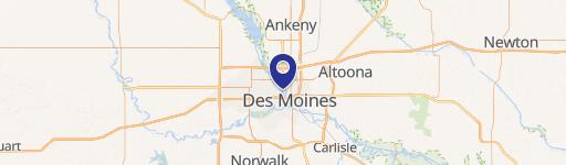
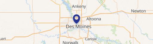
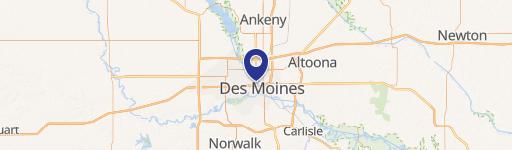
Location Insight
- Map
- Local Demand
- City
- Des Moines
- County
- Polk
- State
- Iowa
- Longitude
- -93.6193
- Latitude
- 41.6014
- CBSA code
- 19780
- CBSA name
- DES MOINES-WEST DES MOINES, IA METROPOLITAN STATISTICAL AREA
Property Tax & Assessments
Tax date
Tax Amount
Assessed Land Value
Assessed Improvement Value
Total Assessed Value
Applied Tax Rate
Land Market Value
Improvement Market Value
Total Market Value
2023
$0.00
$0.00
$0.00
$0.00
-
$0.00
$0.00
$0.00