
1206 Wyandotte Dr, Albany, GA 31705-3809
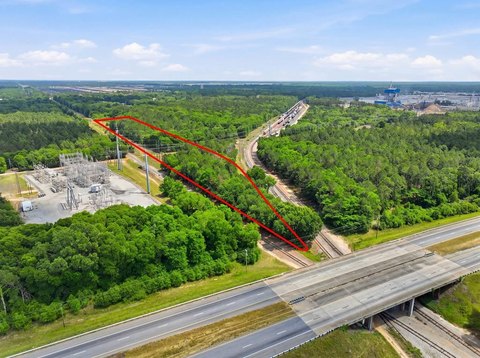
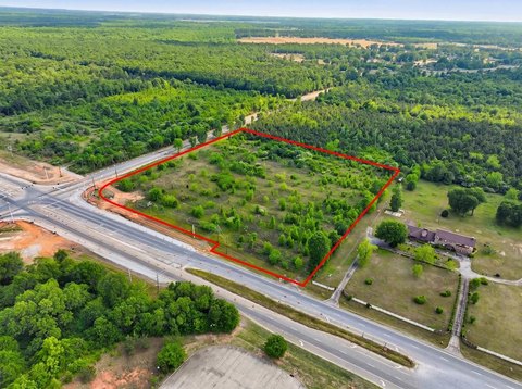
This exceptional 4.38-acre commercial land parcel, located at 1206 Wyandotte Drive in Albany, Georgia (zip code 31705), presents a compelling investment opportunity. The property, encompassing three contiguous tax parcels (APN 00154/00001/006), is zoned for Light Industrial (M-1) use, offering a wide range of potential development options. Envision a warehouse, industrial building, contractor's office, or materials/equipment storage yard – the possibilities are numerous. A portion of the site is already fenced, providing a head start on development. This competitively priced land, at $72,000, represents a significant value proposition in a desirable location within Dougherty County. The property's convenient access and versatile zoning make it an attractive prospect for both established businesses and new ventures seeking a strategic foothold in Albany's thriving industrial sector. Don't miss this chance to acquire a prime piece of commercial real estate in a rapidly growing area.
Cap rate
Implied · in-place · derived from last sale + estimated NOIValue
AI, CAP & Alternative Use estimations · Realmo proprietary blendProperty tax & assessments
Tax year 2024Comparables
6 recent transactions · within 1.5 miComparable in this City


Similar Nearby for Sale


Similar Nearby for Lease


Property description
Physical attributes from public recordsZoning & alternative use
M1 · Albany, GAAlbany. Always verify with local authorities before improvements.
Costs & Benchmarks
Operating expenses, capex projections, utility benchmarks, and submarket comparables — all in one view.
Risks
Flood, climate, environmental, title, and tenant-concentration risk — surfaced with mitigations and source citations.


