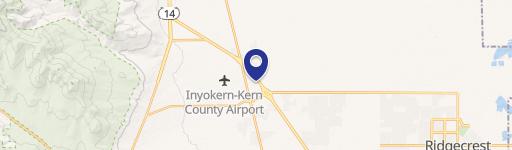
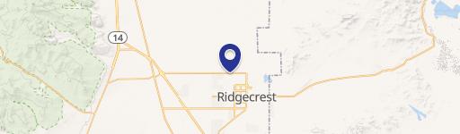
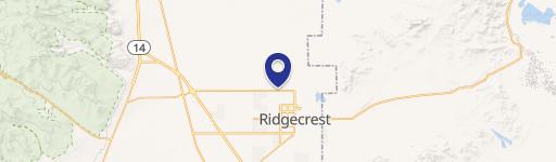
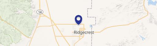
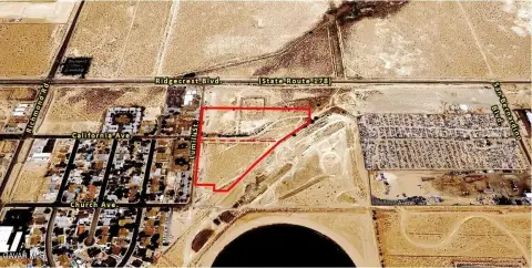
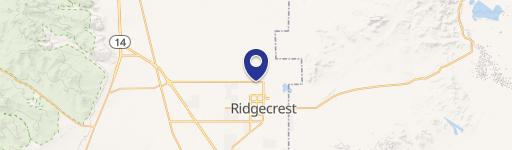
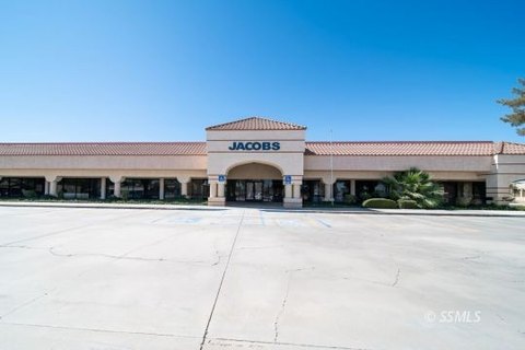
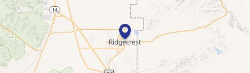
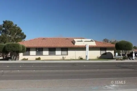
1200 Ward Ave Ridgecrest, CA 93555
Property profile & analytics
1200 Ward Ave, Ridgecrest, CA 93555
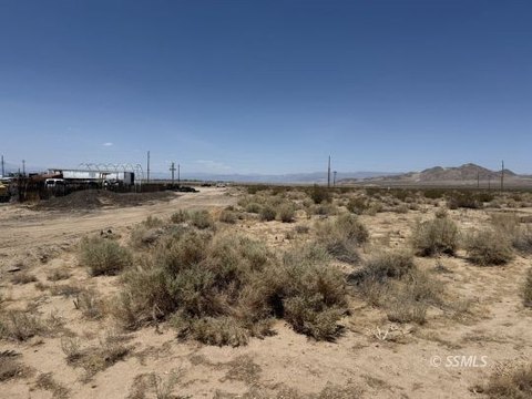
- Industrial land
- 4.44 lot acres
Property ID
US09-3297412
The Realmo ID is a unique identifier assigned to every property, incorporating country codes and precise geo-coordinates for 300x300-foot land blocks. It enables standardized data collection and seamless integration of disparate sources such as ownership, tax, title data and physical specifications. By aggregating current and historical records, the Realmo ID powers advanced analytics and delivers deep, verifiable insights for real estate professionals.
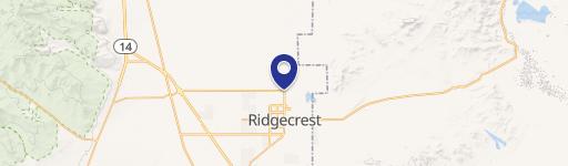
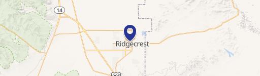
Location Intelligence
Current Use by Public Records
- Industrial land
Property Details for 1200 Ward Ave
- Construction
- WOOD FRAME
- Lot size
- 4.44 lot acres
- Zone code
- M
- Property type
- Industrial land
- APN
- 453-011-12-00-7
- APU
- 45301112007
Sales History
| Date | Price | Buyer | Seller | Deed Type | Mortgage |
|---|---|---|---|---|---|
| Feb 11, 2026 | — | James T Bell | Kristen Michelle Bell | Deed · related | — |
| Feb 11, 2026 | $250,000 | James T Bell | Leroy And Donna Ladd Family Trust | Grant Deed | $230k · Leroy And Donna Ladd Family Trust |
| Dec 4, 2015 | — | Ladd,leroy & D Family Trust | Ladd,leroy E & Donna K | Quit Claim Deed · related | — |
| May 22, 2002 | $75,000 | Leroy E Ladd | All Ridgecrest INC | Grant Deed | — |
Value Estimations
based on Realmo’s proprietary methodology
-
AI approach
-
CAP approach
-
Comparable approach
-
Alternative Use
Get a detailed, property-specific estimation — fast and free
Location Insight
- Map
- Local Demand
- City
- Ridgecrest
- County
- Kern
- State
- California
- Longitude
- -117.695
- Latitude
- 35.6453
- CBSA code
- 12540
- CBSA name
- BAKERSFIELD, CA METROPOLITAN STATISTICAL AREA
Property Tax & Assessments
Tax date
Tax Amount
Assessed Land Value
Assessed Improvement Value
Total Assessed Value
Applied Tax Rate
Land Market Value
Improvement Market Value
Total Market Value
2023
$1,031
$94,857
$0.00
$94,857
-
$0.00
$0.00
$0.00