12 Frg Pond Canton, MA 02021-2985
Property profile & analytics
12 Frg Pond, Canton, MA 02021-2985
- Office Spaces
- 1,260 SF
Property ID
US38-1394570
The Realmo ID is a unique identifier assigned to every property, incorporating country codes and precise geo-coordinates for 300x300-foot land blocks. It enables standardized data collection and seamless integration of disparate sources such as ownership, tax, title data and physical specifications. By aggregating current and historical records, the Realmo ID powers advanced analytics and delivers deep, verifiable insights for real estate professionals.
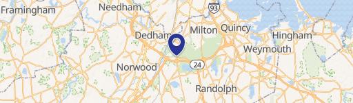
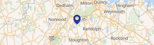
Location Intelligence
Current Use by Public Records
- South Shore Staffing, Inc. / Employment Agency
Property Details for 12 Frg Pond
- Year built
- 2003
- Construction
- FRAME
- Property type
- Office Spaces
- APN
- CANT M:26 P:172-12
- APU
- CANTM26P17212
Sales History
| Date | Price | Buyer | Seller | Deed Type | Mortgage |
|---|---|---|---|---|---|
| Aug 22, 2023 | $250,000 | 12 Forge Pond LLC | Forge Pond Realty LLC | Quit Claim Arm's Length For Ne States | $125k · Bank Of Canton |
| Aug 22, 2023 | — | Twelve Forge Pond LLC | — | Deed · related | $91k · Granite State Economic Development Corp |
| Nov 16, 2007 | $259,000 | Forge Pond Realty LLC | Bolivar Res Ptnshp | Grant Deed | $207k · Bank Of Canton |
Value Estimations
based on Realmo’s proprietary methodology
-
AI approach
-
CAP approach
-
Comparable approach
-
Alternative Use
Get a detailed, property-specific estimation — fast and free
Location Insight
- Map
- Local Demand
- City
- Canton
- County
- Norfolk
- State
- Massachusetts
- Longitude
- -71.1444
- Latitude
- 42.1548
- CBSA code
- 14460
- CBSA name
- BOSTON-CAMBRIDGE-QUINCY, MA-NH METROPOLITAN STATISTICAL AREA
Property Tax & Assessments
Tax date
Tax Amount
Assessed Land Value
Assessed Improvement Value
Total Assessed Value
Applied Tax Rate
Land Market Value
Improvement Market Value
Total Market Value
2024
$5,795
$0.00
$278,600
$278,600
-
$0.00
$0.00
$0.00