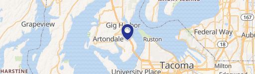
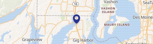
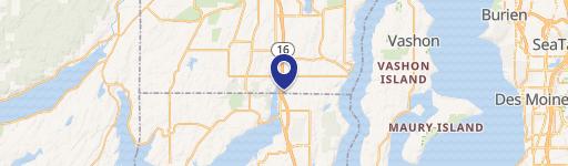
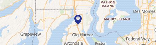
11721 Burnham Dr Gig Harbor, WA 98332-8515
Property profile & analytics
11721 Burnham Dr, Gig Harbor, WA 98332-8515
- Commercial land
- 0.98 lot acres
Property ID
US90-0681099
The Realmo ID is a unique identifier assigned to every property, incorporating country codes and precise geo-coordinates for 300x300-foot land blocks. It enables standardized data collection and seamless integration of disparate sources such as ownership, tax, title data and physical specifications. By aggregating current and historical records, the Realmo ID powers advanced analytics and delivers deep, verifiable insights for real estate professionals.
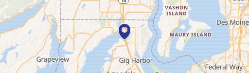
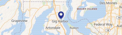
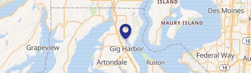
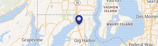
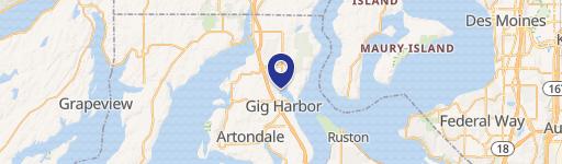
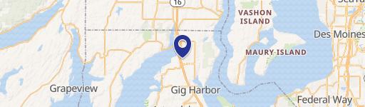
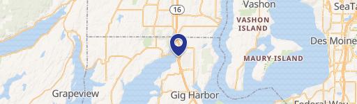
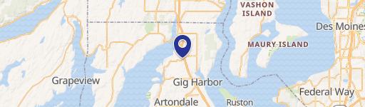
Location Intelligence
Current Use by Public Records
- Commercial land
Property Details for 11721 Burnham Dr
- Lot size
- 0.98 lot acres
- Zone code
- B-2
- Property type
- Commercial land
- APN
- 122254089
- APU
- 122254089
Sales History
| Date | Price | Buyer | Seller | Deed Type | Mortgage |
|---|---|---|---|---|---|
| Nov 15, 2024 | — | Burnham Acres LLC | Purdy Investments LLC | Deed | $141k · Purdy Investments LLC |
| Nov 27, 2001 | — | Purdy Investments LLC | Morris,david R & Merrillyn A | Quit Claim Deed · related | — |
| — | — | Thomas J Worlund | — | Deed Of Trust · related | $544k · First Security Bank Washington |
Value Estimations
based on Realmo’s proprietary methodology
-
AI approach
-
CAP approach
-
Comparable approach
-
Alternative Use
Get a detailed, property-specific estimation — fast and free
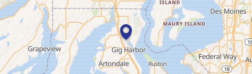
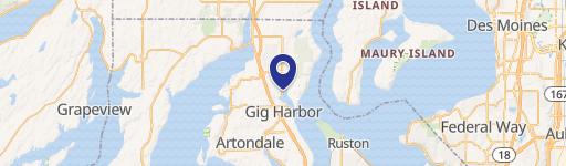
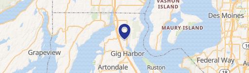
Location Insight
- Map
- Local Demand
- City
- Gig Harbor
- County
- Pierce
- State
- Washington
- Longitude
- -122.619
- Latitude
- 47.366
- CBSA code
- 42660
- CBSA name
- SEATTLE-TACOMA-BELLEVUE, WA METROPOLITAN STATISTICAL AREA
Property Tax & Assessments
Tax date
Tax Amount
Assessed Land Value
Assessed Improvement Value
Total Assessed Value
Applied Tax Rate
Land Market Value
Improvement Market Value
Total Market Value
2024
$1,189
$130,200
$0.00
$130,200
-
$130,200
$0.00
$130,200