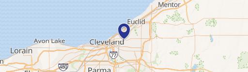
11506 Superior Ave Cleveland, OH 44106-1343
Zoning District: GR-C2 Current Use: Vacant T otal Structure Sqft: 3772.5 SITE DATA TABLE 100’ 90’ 30’ 20’ 8’ 5’ 45’ 50’ 69’ 60’ 5’ 7’6”75’ 8’ 86’7’6” 20’ 7’6” 52’6”’ 20’ 10’ 15’ 9’17’ 9’17’ 9’17’ 9’17’ 24’ 30’ 40’ 48’ 12’ 1 2 3 4 5 6 6 6 7 7 7 7 7 8 8 9 10 11 11 12 13 14 NOT SHOWN IN SAMPLE SITE PLAN:Generic Commercial Site Plan To be used in tandem with the…
Cap rate
Implied · in-place · derived from last sale + estimated NOIValue
AI, CAP & Alternative Use estimations · Realmo proprietary blendProperty tax & assessments
Tax year 2023Comparables
6 recent transactions · within 1.5 miComparable in this City
Similar Nearby for Sale


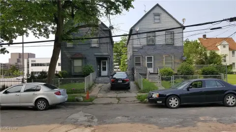
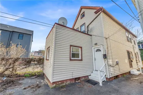


Similar Nearby for Lease


Property description
Physical attributes from public recordsZoning & alternative use
GR · Cleveland, OHZoning District: GR-C2 Current Use: Vacant T otal Structure Sqft: 3772.5 SITE DATA TABLE 100’ 90’ 30’ 20’ 8’ 5’ 45’ 50’ 69’ 60’ 5’ 7’6”75’ 8’ 86’7’6” 20’ 7’6” 52’6”’ 20’ 10’ 15’ 9’17’ 9’17’ 9’17’ 9’17’ 24’ 30’ 40’ 48’ 12’ 1 2 3 4 5 6 6 6 7 7 7 7 7 8 8 9 10 11 11 12 13 14 NOT SHOWN IN SAMPLE SITE PLAN:Generic Commercial Site Plan To be used in tandem with the Site Plan Checklist 601 Lakeside Ave. E. | Room 501 | Cleveland, OH 44114 | T: 216-664-2210 | clevelandohio.gov City of Cleveland Department of City Planning General Permit Checklist: This checklist is to be used by permit applicants who are submitting a site plan to the City of Cleveland. This checklist is not exhaustive of every document that may be requested of an applicant (depending on the nature of the proposed project). IMPORTANT DEFINITION : A site plan is a plan drawing/diagram which shows the buildings, easements, ground mount ed mechanical equipment, fence and/or walls, the position of roads, and other constructions of an existing or proposed property at a defined scale. AN AERIAL PHOTOGRAPH IS NOT A SUFFICIENT SITE PLAN. Please include the following IN A SINGLE PDF DOCUMENT as applicable: General Permit Site Plan Checklist REQUIREMENTS INCLUDED? 1. North Arrow (must be at top), property boundary, adjacent right-of-way, and graphic scale. 2. The project site plan must be drawn to a standard scale, such as 1:20, 1:30, etc. and labeled. The plan must be submitted (minimum) on legal paper (8 1⁄2” x 14”) paper. Specification books must be included if issued by a design professional. 3. If the project contains new construction (residential/commercial) or an addition, plans must bear the seal of an Ohio Registered Architect or Professional Engineer responsible for their preparation. 4. Contact information (including email addresses, phone numbers, and physical addresses) for owner, applicant, and ALL consultants. 5. Site Data Table: Must include parcel number(s) of project, total site size, zoning district(s), maximum building height, current use of property, and total structure square footage. 601 Lakeside Ave. E. | Room 501 | Cleveland, OH 44114 | T: 216-664-2210 | clevelandohio.gov REQUIREMENTS INCLUDED? 6. Label street name(s) & widths and provide dimensions between buildings and property lines, other structures, and fences and/or walls. 7. Clearly label EXISTING and PROPOSED development. 8. Show front, rear, side street, and interior setbacks & dimensions on drawing in relation to the proposed development and the property line(s) and/or existing buildings. 9.
Costs & Benchmarks
Operating expenses, capex projections, utility benchmarks, and submarket comparables — all in one view.
Risks
Flood, climate, environmental, title, and tenant-concentration risk — surfaced with mitigations and source citations.


