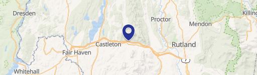
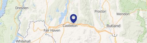
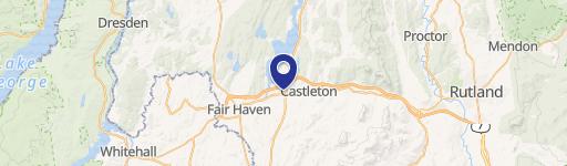
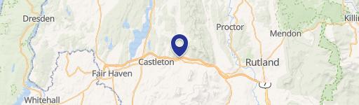
111 Rte 30th N Castleton, VT 05735-9205
Property profile & analytics
111 Rte 30th N, Castleton, VT 05735-9205
- Commercial real estate
- 4,640 SF
- 1.21 lot acres
Property ID
US89-0301574
The Realmo ID is a unique identifier assigned to every property, incorporating country codes and precise geo-coordinates for 300x300-foot land blocks. It enables standardized data collection and seamless integration of disparate sources such as ownership, tax, title data and physical specifications. By aggregating current and historical records, the Realmo ID powers advanced analytics and delivers deep, verifiable insights for real estate professionals.
Location Intelligence
Current Use by Public Records
- Irving Oil / Gas Station
Property Details for 111 Rte 30th N
- Year built
- 1973
- Construction
- FRAME
- Lot size
- 1.21 lot acres
- Zone code
- VC
- Property type
- Commercial real estate
- APN
- (040) 445000024
- APU
- 40445000024
Sales History
| Date | Price | Buyer | Seller | Deed Type | Mortgage |
|---|---|---|---|---|---|
| Jan 28, 2025 | $1,500,000 | Cadet 23 LLC | Tc Midwest LLC | Deed | — |
| Jul 30, 2024 | $640,000 | Tc Midwest LLC | Global Montello Group Corp. | Deed | — |
Value Estimations
based on Realmo’s proprietary methodology
-
AI approach
-
CAP approach
-
Comparable approach
-
Alternative Use
Get a detailed, property-specific estimation — fast and free
Location Insight
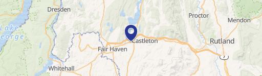
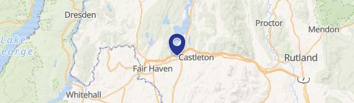
- Map
- Local Demand
- City
- Castleton
- County
- Rutland
- State
- Vermont
- Longitude
- -73.2088
- Latitude
- 43.6101
- CBSA code
- 40860
- CBSA name
- RUTLAND, VT MICROPOLITAN STATISTICAL AREA
Property Tax & Assessments
Tax date
Tax Amount
Assessed Land Value
Assessed Improvement Value
Total Assessed Value
Applied Tax Rate
Land Market Value
Improvement Market Value
Total Market Value
2023
$6,658
$110,600
$190,000
$300,600
-
$0.00
$0.00
$0.00