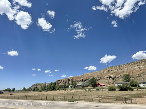
111 Mdw Dr Evanston, WY 82930-2025
Property profile & analytics
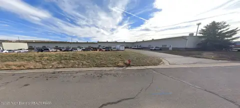
111 Mdw Dr, Evanston, WY 82930-2025
- Commercial land
- 1.42 lot acres
Property ID
US95-0214148
The Realmo ID is a unique identifier assigned to every property, incorporating country codes and precise geo-coordinates for 300x300-foot land blocks. It enables standardized data collection and seamless integration of disparate sources such as ownership, tax, title data and physical specifications. By aggregating current and historical records, the Realmo ID powers advanced analytics and delivers deep, verifiable insights for real estate professionals.
Location Intelligence
Current Use by Public Records
- Pro Wireline Inc / Oilfield / Professional Services
Property Details for 111 Mdw Dr
- Lot size
- 1.42 lot acres
- Property type
- Commercial land
- APN
- 15201710200100
- APU
- 15201710200100
Sales History
| Date | Price | Buyer | Seller | Deed Type | Mortgage |
|---|---|---|---|---|---|
| Nov 27, 2012 | — | Pro Wireline INC | Dianne H Demoss | Warranty Deed | $350k · Bill R Putnam |
Value Estimations
based on Realmo’s proprietary methodology
-
AI approach
-
CAP approach
-
Comparable approach
-
Alternative Use
Get a detailed, property-specific estimation — fast and free
Location Insight
- Map
- Local Demand
- City
- Evanston
- County
- Uinta
- State
- Wyoming
- Longitude
- -110.973
- Latitude
- 41.2853
- CBSA code
- 21740
- CBSA name
- EVANSTON, WY MICROPOLITAN STATISTICAL AREA
Property Tax & Assessments
Tax date
Tax Amount
Assessed Land Value
Assessed Improvement Value
Total Assessed Value
Applied Tax Rate
Land Market Value
Improvement Market Value
Total Market Value
2022
$141
$2,070
$0.00
$2,070
-
$21,794
$0.00
$21,794