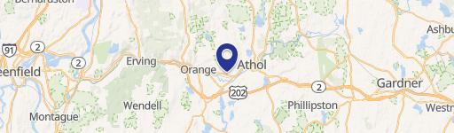
110 Daniel Shays Hwy Orange, MA 01364-2028
-
Executive Inn Hotel & Motel
Business B Residential Village RV Industrial I Residential R Residential Rural RR Downtown DT The Boundaries of District B, Business, are as follows: "Starting at the existing border of Zones A and D on the northerly side of West Main Street, thence proceeding northerly along the district border to a point 500' northerly of the centerline of West Main Street…
Cap rate
Implied · in-place · derived from last sale + estimated NOIValue
AI, CAP & Alternative Use estimations · Realmo proprietary blendProperty tax & assessments
Tax year 2024Comparables
6 recent transactions · within 1.5 miComparable in this City
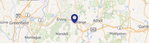

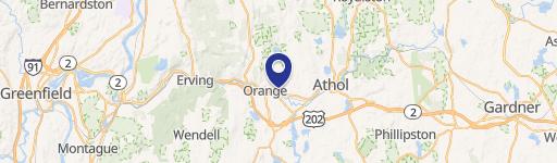
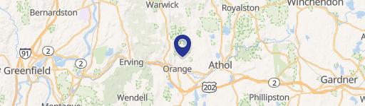
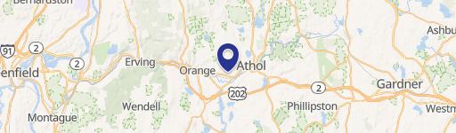
Similar Nearby for Sale


Similar Nearby for Lease


Property description
Physical attributes from public recordsZoning & alternative use
B · Orange, MABusiness B Residential Village RV Industrial I Residential R Residential Rural RR Downtown DT The Boundaries of District B, Business, are as follows: "Starting at the existing border of Zones A and D on the northerly side of West Main Street, thence proceeding northerly along the district border to a point 500' northerly of the centerline of West Main Street thence continuing easterly at a distance of 500' north of the centerlines of West and East Main Streets to the eastern Town line. Thence following the existing Zone A line southerly to the centerline of the Miller's River, thence westerly along the existing Zone A line to a point 500' east of Prentiss Street, thence northerly to the centerline of East River Street and thence westerly along centerline of East River Street to the centerline of Hayden Street thence southerly along the centerline Hayden Street to the centerline of Church Street, thence westerly to South Main Street and continuing through South Main Street to the centerline of Cheney Street, and thence northerly along the centerline of Cheney Street, and thence to the centerline of Wes t River Street, and thence westerly along the centerline of West River Street to a point 400' west of the centerline of Roche Avenue, thence northerly parallel to the centerline of Roche Avenue to the centerline of the Miller's River, and continuing wester ly by the centerline of the River to the District D boundary and then northerly thereby to the point of beginning." All other areas previously in District A are now Residential Village, District RV. An additional "overlay" district is hereby created, a "Water Resource District" for the purposes of Section 7400. The Boundaries of these districts are defined and bounded on the map entitled "Official Zoning Map, Orange, Massachusetts", dated April 28, 2010, and the Zone II APA for PWS#3" maps dated March 1994, prepared by Horsley and Witten, Inc. indicating the Zone s I, II, and for public well #3, and the conceptual Zone I and II delineation for Wells 1 & 2, dated July 1994, and as may be subsequently amended by Town Meeting vote, these maps are on file with the Town Clerk. These maps and all explanatory matter therein are hereby made part of this Bylaw. 4120 District Definitions. The Town’s zoning districts are defined as follows: ORANGE ZONING BYLAW October 2022 17 Business (B) : This district largely follows Route 2A and encompasses m any of Orange’s commercial uses. The purpose of District B is to cr eate and maintain a thriving commercial corridor in the center of Town.
Costs & Benchmarks
Operating expenses, capex projections, utility benchmarks, and submarket comparables — all in one view.
Risks
Flood, climate, environmental, title, and tenant-concentration risk — surfaced with mitigations and source citations.


