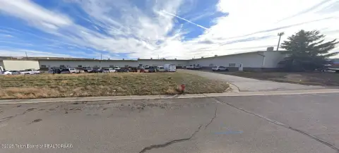
107 Mdw Dr Ste A Evanston, WY 82930-2024
Property profile & analytics
107 Mdw Dr Ste A, Evanston, WY 82930-2024
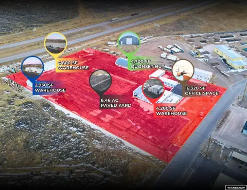
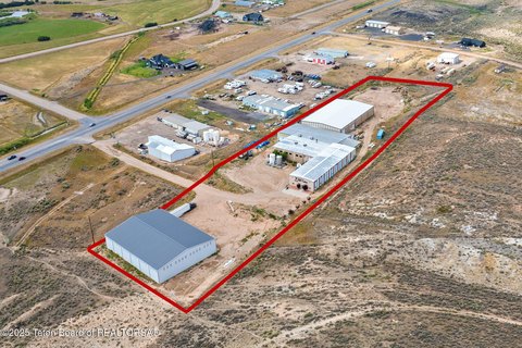
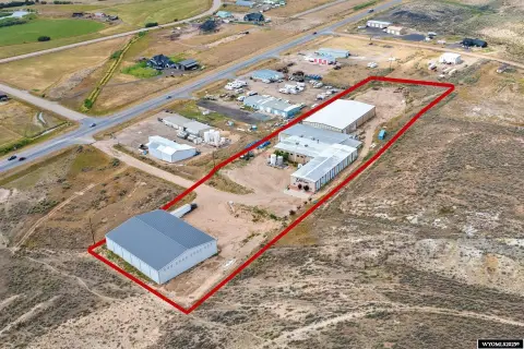
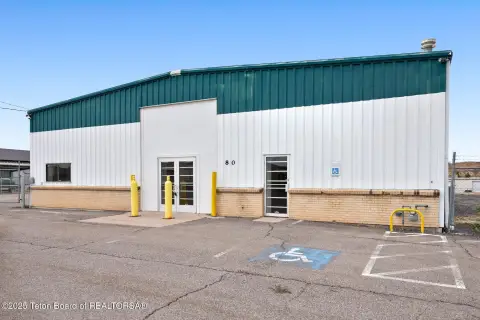
- Warehouses
- 12,300 SF
- 0.78 lot acres
Property ID
US95-0224460
The Realmo ID is a unique identifier assigned to every property, incorporating country codes and precise geo-coordinates for 300x300-foot land blocks. It enables standardized data collection and seamless integration of disparate sources such as ownership, tax, title data and physical specifications. By aggregating current and historical records, the Realmo ID powers advanced analytics and delivers deep, verifiable insights for real estate professionals.
Location Intelligence
Current Use by Public Records
- Techwest Services / Painting Service / General Contractor
- Tristar Constructors Inc. / General Contractor / Renovation Specialist
Property Details for 107 Mdw Dr Ste A
- Year built
- 1981
- Construction
- FRAME
- Lot size
- 0.78 lot acres
- Property type
- Warehouses
- APN
- 15201710600100
- APU
- 15201710600100
Sales History
| Date | Price | Buyer | Seller | Deed Type | Mortgage |
|---|---|---|---|---|---|
| Jul 2, 2012 | — | Tws Investments LLC | Lj Leasing LLC | Warranty Deed | — |
| Jan 3, 2006 | — | L J Leasing LLC | Tybar Welding INC | Warranty Deed | $172k · First National Bank |
Value Estimations
based on Realmo’s proprietary methodology
-
AI approach
-
CAP approach
-
Comparable approach
-
Alternative Use
Get a detailed, property-specific estimation — fast and free
Location Insight
- Map
- Local Demand
- City
- Evanston
- County
- Uinta
- State
- Wyoming
- Longitude
- -110.972
- Latitude
- 41.2838
- CBSA code
- 21740
- CBSA name
- EVANSTON, WY MICROPOLITAN STATISTICAL AREA
Property Tax & Assessments
Tax date
Tax Amount
Assessed Land Value
Assessed Improvement Value
Total Assessed Value
Applied Tax Rate
Land Market Value
Improvement Market Value
Total Market Value
2022
$3,040
$6,673
$37,985
$44,658
-
$70,242
$399,841
$470,083