10686 52nd Ave Allendale, MI 49401-8132
Property profile & analytics
10686 52nd Ave, Allendale, MI 49401-8132
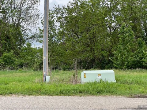
- Commercial land
- 29.00 lot acres
Property ID
US43-4273414
The Realmo ID is a unique identifier assigned to every property, incorporating country codes and precise geo-coordinates for 300x300-foot land blocks. It enables standardized data collection and seamless integration of disparate sources such as ownership, tax, title data and physical specifications. By aggregating current and historical records, the Realmo ID powers advanced analytics and delivers deep, verifiable insights for real estate professionals.
Location Intelligence
Current Use by Public Records
- Commercial land
Property Details for 10686 52nd Ave
- Lot size
- 29.00 lot acres
- Property type
- Commercial land
- APN
- 70-09-25-400-058
- APU
- 700925400058
Sales History
| Date | Price | Buyer | Seller | Deed Type | Mortgage |
|---|---|---|---|---|---|
| Apr 3, 2020 | — | Zp No 313 LLC | Zp No 311 LLC | Quit Claim Deed · related | $825k · Flagstar Bank Fsb |
| Jan 22, 2020 | — | Zp No 313 LLC | Harley Sietsema | Quit Claim Deed | — |
| Dec 15, 2008 | — | The Village At 48 West LLC | Racel Enterprises LLC | Warranty Deed | — |
Value Estimations
based on Realmo’s proprietary methodology
-
AI approach
-
CAP approach
-
Comparable approach
-
Alternative Use
Get a detailed, property-specific estimation — fast and free
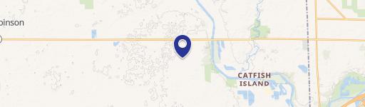
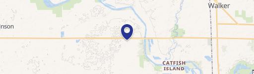
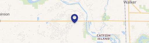
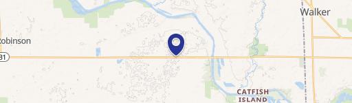
Location Insight
- Map
- Local Demand
- City
- Allendale
- County
- Ottawa
- State
- Michigan
- Longitude
- -85.9128
- Latitude
- 42.9609
- CBSA code
- 24340
- CBSA name
- GRAND RAPIDS-WYOMING, MI METROPOLITAN STATISTICAL AREA
Property Tax & Assessments
Tax date
Tax Amount
Assessed Land Value
Assessed Improvement Value
Total Assessed Value
Applied Tax Rate
Land Market Value
Improvement Market Value
Total Market Value
2022
$44,315
$0.00
$0.00
$815,200
-
$0.00
$0.00
$1,630,400