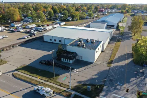
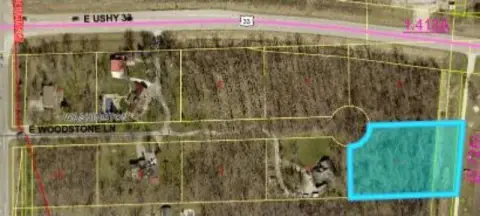
1047 Southampton Dr Decatur, IN 46733
Property profile & analytics
1047 Southampton Dr, Decatur, IN 46733
- Warehouses
- 3,600 SF
- 0.66 lot acres
Property ID
US31-2400219
The Realmo ID is a unique identifier assigned to every property, incorporating country codes and precise geo-coordinates for 300x300-foot land blocks. It enables standardized data collection and seamless integration of disparate sources such as ownership, tax, title data and physical specifications. By aggregating current and historical records, the Realmo ID powers advanced analytics and delivers deep, verifiable insights for real estate professionals.
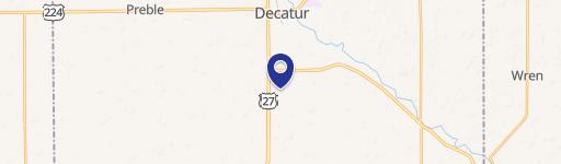
Location Intelligence
Current Use by Public Records
- Warehouses
Property Details for 1047 Southampton Dr
- Year built
- 1988
- Construction
- WOOD
- Lot size
- 0.66 lot acres
- Property type
- Warehouses
- Property subtype
- Self storage facilities
- APN
- 01-02-33-200-137.000-014
- APU
- 10233200137000014
Sales History
| Date | Price | Buyer | Seller | Deed Type | Mortgage |
|---|---|---|---|---|---|
| Jun 10, 2021 | — | Bluffton Dental Props | — | Deed · related | $200k · First Merchants Bank |
| May 19, 2017 | — | Ronald A Ballard | Ronald A Balland And Susan M Ballar | Corporation Deed | $109k · First Bank Of Berne |
| Mar 24, 2011 | $160,000 | Ronald A Ballard | Strickler Family Enterprizes INC | Warranty Deed | $155k · First Bank Of Berne |
Value Estimations
based on Realmo’s proprietary methodology
-
AI approach
-
CAP approach
-
Comparable approach
-
Alternative Use
Get a detailed, property-specific estimation — fast and free
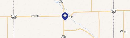
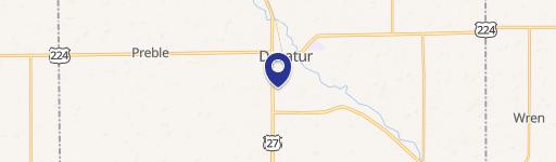
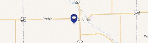
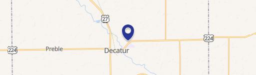
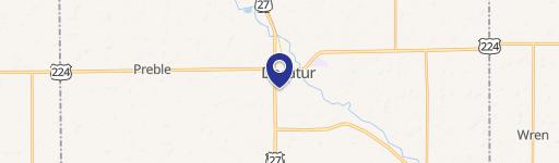
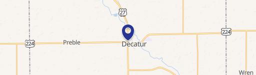
Location Insight
- Map
- Local Demand
- City
- Decatur
- County
- Adams
- State
- Indiana
- Longitude
- -84.9398
- Latitude
- 40.8415
- CBSA code
- 19540
- CBSA name
- DECATUR, IN MICROPOLITAN STATISTICAL AREA
Property Tax & Assessments
Tax date
Tax Amount
Assessed Land Value
Assessed Improvement Value
Total Assessed Value
Applied Tax Rate
Land Market Value
Improvement Market Value
Total Market Value
2023
$4,711
$35,500
$121,100
$156,600
-
$35,500
$121,100
$156,600