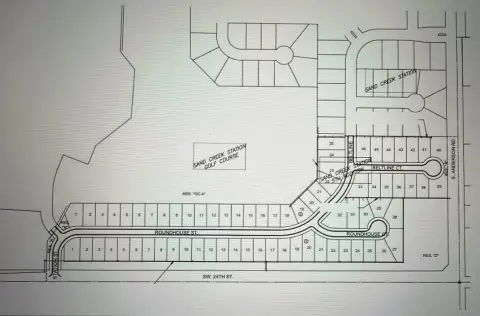
1021 Spencer Rd Newton, KS 67114-4118
-
Medassure Waste Management Facility Hazardous Waste Disposal
I-2 General Industrial District I-3 Heavy Industrial District F-P Flood Plain Overlay District H-D Historic and Cultural Overlay District AIR-1 Airport Zoning District Apply for a Permit Apply for a Building, Electrical, Mechanical, or Plumbing or Sewer Tap Permit online or in person. Apply for a Contractor's License Apply for a contractor's license online,…
Cap rate
Implied · in-place · derived from last sale + estimated NOIValue
AI, CAP & Alternative Use estimations · Realmo proprietary blendProperty tax & assessments
Tax year 2023Comparables
6 recent transactions · within 1.5 miComparable in this City


Similar Nearby for Sale


Similar Nearby for Lease


Property description
Physical attributes from public recordsZoning & alternative use
I-2 · Newton, KSI-2 General Industrial District I-3 Heavy Industrial District F-P Flood Plain Overlay District H-D Historic and Cultural Overlay District AIR-1 Airport Zoning District Apply for a Permit Apply for a Building, Electrical, Mechanical, or Plumbing or Sewer Tap Permit online or in person. Apply for a Contractor's License Apply for a contractor's license online, by email, or in person. Or find a list of contractors currently licensed to work in Newton. Planning Commission Learn about the role of the Planning Commission on issues relating to zoning, subdivision plats, sign regulations and various other matters affecting the development of Newton. Historic Preservation Information on Newton's historic properties and districts, and the various resources available and development guidelines in place to protect their historic character. Plans and Reports Review the plans and reports that help guide Newton's future growth and development. Building & Zoning FAQ Get answers to all your frequently asked questions about building in the city of Newton. Zoning Forms Flooding Information Flooding is a risk, whether you live near waterways or not. Learn how the City can help you access information about your property's risk or help protect your family and property. Sidewalk Repair Rebate Program A rebate program offering financial assistance to property owners whose sidewalks have been cited by the City for repair. Contact Us Phone 316-284-6020, option 4 Location City Hall, 3rd floor 201 E. 6th St. Newton, KS 67114 Back to top Contact Us City of Newton, KS 201 E 6TH ST, PO BOX 426, Newton, KS 67114-2215 View on Map P (316) 284-6001 Share & Connect Like us on Facebook Follow us on Instagram Follow us on YouTube Follow us on LinkedIn Get Involved Careers Volunteer Provide Feedback Quick Links Submit a Request Upcoming Meetings Make a Payment Accessibility Statement | Privacy Statement | Sitemap © 2026 City of Newton, KS | Powered by Granicus
No recorded transactions found for this property.
Costs & Benchmarks
Operating expenses, capex projections, utility benchmarks, and submarket comparables — all in one view.
Risks
Flood, climate, environmental, title, and tenant-concentration risk — surfaced with mitigations and source citations.


