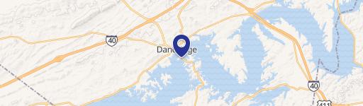
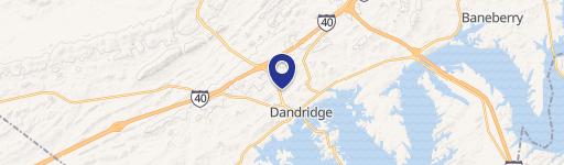
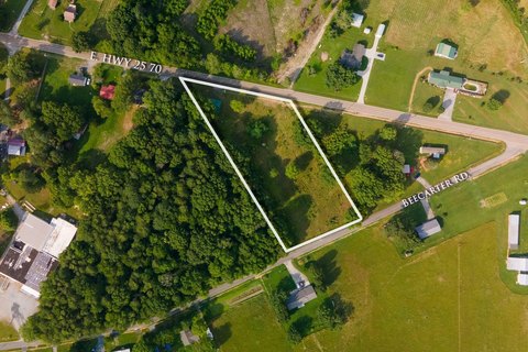
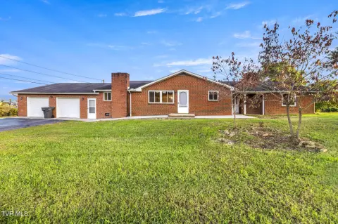
1013 Hwy 92nd S Dandridge, TN 37725-4740
14-408. B-2, General Business Dis trict. Within the B -2, General Bu siness District, as shown on the zoning map of Dandridge, Tennessee, the following regulations plus other appropriate provisions of this zoning code shall apply: 1. Uses Permitted. a. Retail trade - general merchandise. b. Retail trade - food. c. Retail trade - apparel and accessories. d. R…
Cap rate
Implied · in-place · derived from last sale + estimated NOIValue
AI, CAP & Alternative Use estimations · Realmo proprietary blendProperty tax & assessments
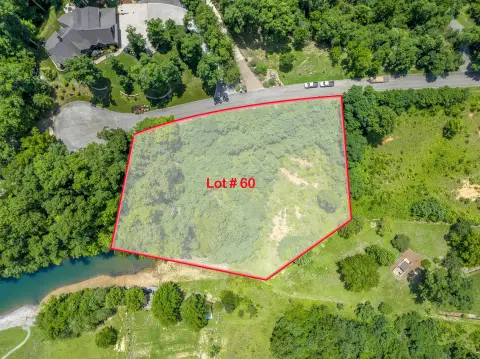
Comparables
6 recent transactions · within 1.5 miComparable in this City
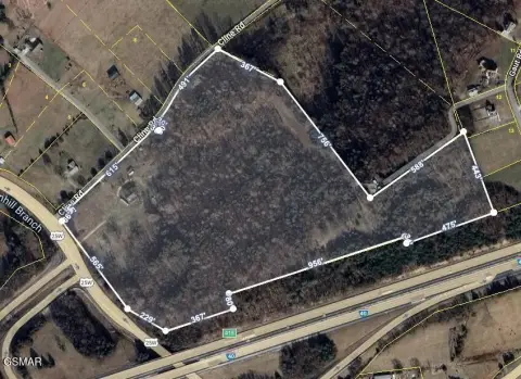
Similar Nearby for Sale

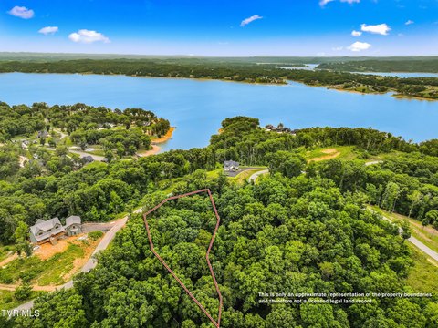
Similar Nearby for Lease


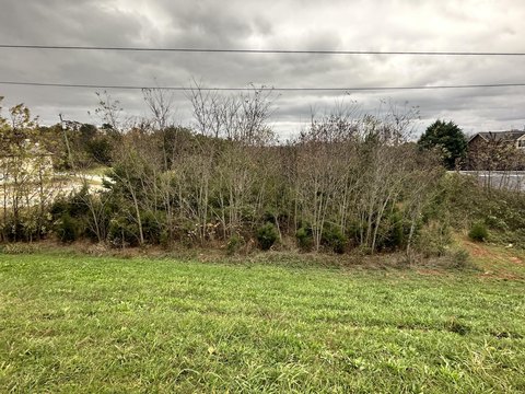
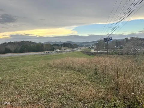
Property description
Physical attributes from public recordsZoning & alternative use
B-2 · Dandridge, TN14-408. B-2, General Business Dis trict. Within the B -2, General Bu siness District, as shown on the zoning map of Dandridge, Tennessee, the following regulations plus other appropriate provisions of this zoning code shall apply: 1. Uses Permitted. a. Retail trade - general merchandise. b. Retail trade - food. c. Retail trade - apparel and accessories. d. Retail trade - furniture, home furnishings, and equipment. e. Retail trade - eating and drinking establishment. f. Retail trade - drug and proprietary, antiques, books and stationery, sporting goods, hardware, jewelry, florists, optical and photographic supplies. g. Retail and repair services for automobiles, boats, motorcycles and small engines with related services (per ordinance 03/04-23). h. Finance, insurance, and real estate services. i. Business services. j. Personal services including beauty and barber shops. k. Personal services for automobile, boats, motorcycles. Small engine repair and similar services. l. Professional offices offering professional services. (Per Ordinance No.16/17-03, August 9, 2016) m. Governmental services not including correctional institutions and military reservations. n. Cultural activities, such as arts and crafts shows, plays, etc. o. Religious activities and welfare and charitable services. p. Other uses and structures which are customarily accessory and clearly incidental to permitted uses and structures, as determined by the Board of Zoning Appeals. q. Outdoor advertising signs as regulated in Section 14-604. r. Marinas, camping facilities, travel trailer parks, recreational parks. s. Storage and mini-storage for household and recreational items (per 57 ordinance 03/04-23). t. Laundromats and drycleaners (per ordinance 03/04-23). u. Hotels, motels, lodges and bed and breakfast inns (per ordinance 05/06- 10). v. Mechanical (electric or gas) repair shops (per ordinance 05/06-15). w. Pawn shops (per ordinance 05/06-15). x. Plumbing showrooms, shops or repair (per ordinance 05/06-15). y. Lounges and taverns (per ordinance 05/06-15). 2. Special Exceptions: a. Communication Towers provided that they meet all the requirements as noted in Appendix A. b. Indoor Sport Shooting Ranges, provided all requirements in Section 14- 612 are met (Ordinance No.20/21-23, 4/13/21) c. Any use similar in nature as uses identified above as determined by the Board of Zoning Appeals. 3. Area Regulations. Buildings shall be located so as to comply with the following requirements: a. Minimum depth of front yard: thirty (30) feet b. Minimum depth of rear yard: Ten (10) feet c.
Costs & Benchmarks
Operating expenses, capex projections, utility benchmarks, and submarket comparables — all in one view.
Risks
Flood, climate, environmental, title, and tenant-concentration risk — surfaced with mitigations and source citations.


